![]()
Vermilion County Illinois Cemetery List
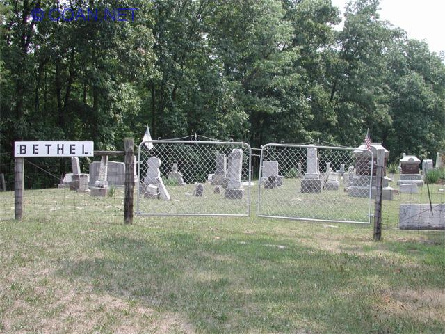
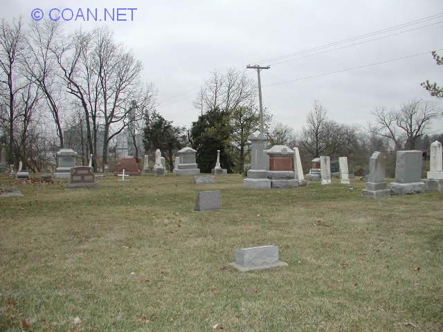
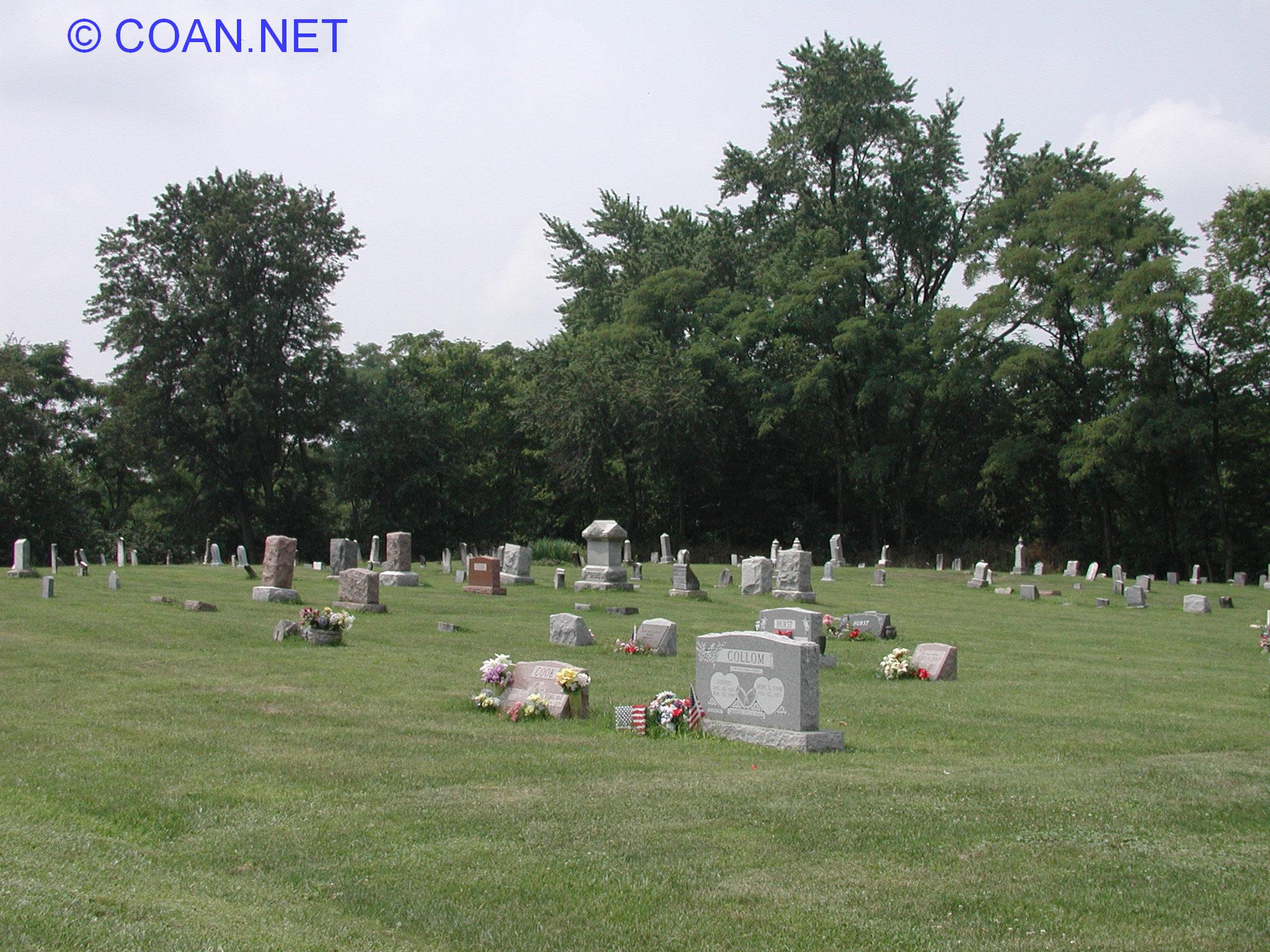
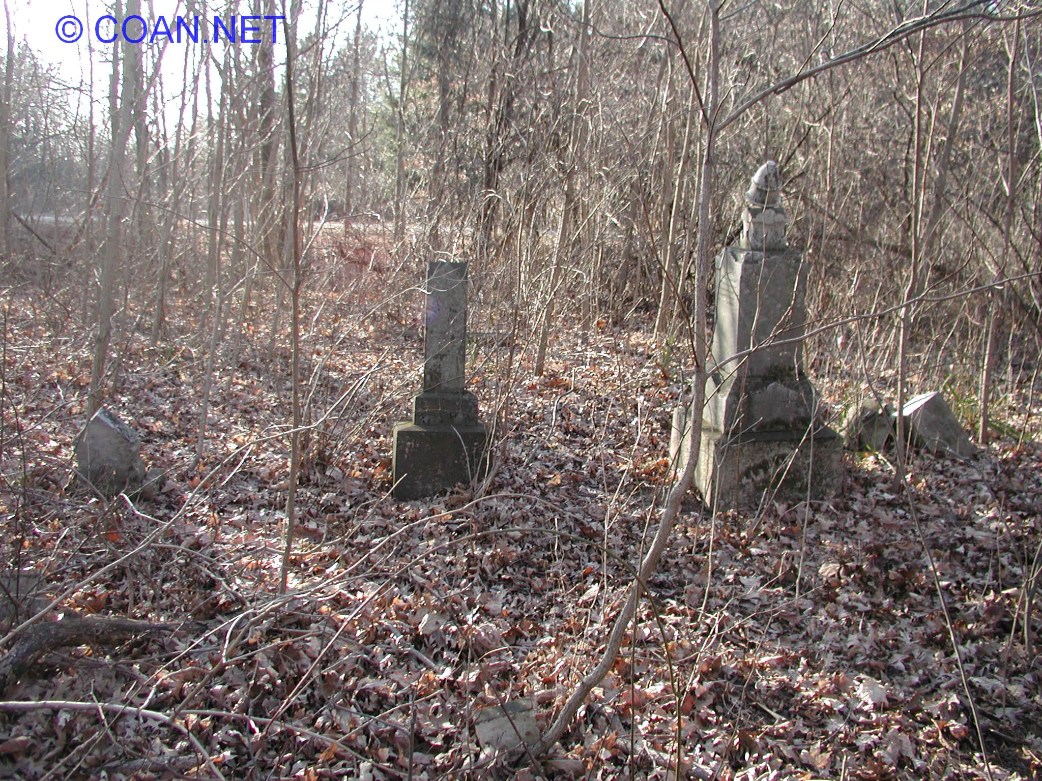
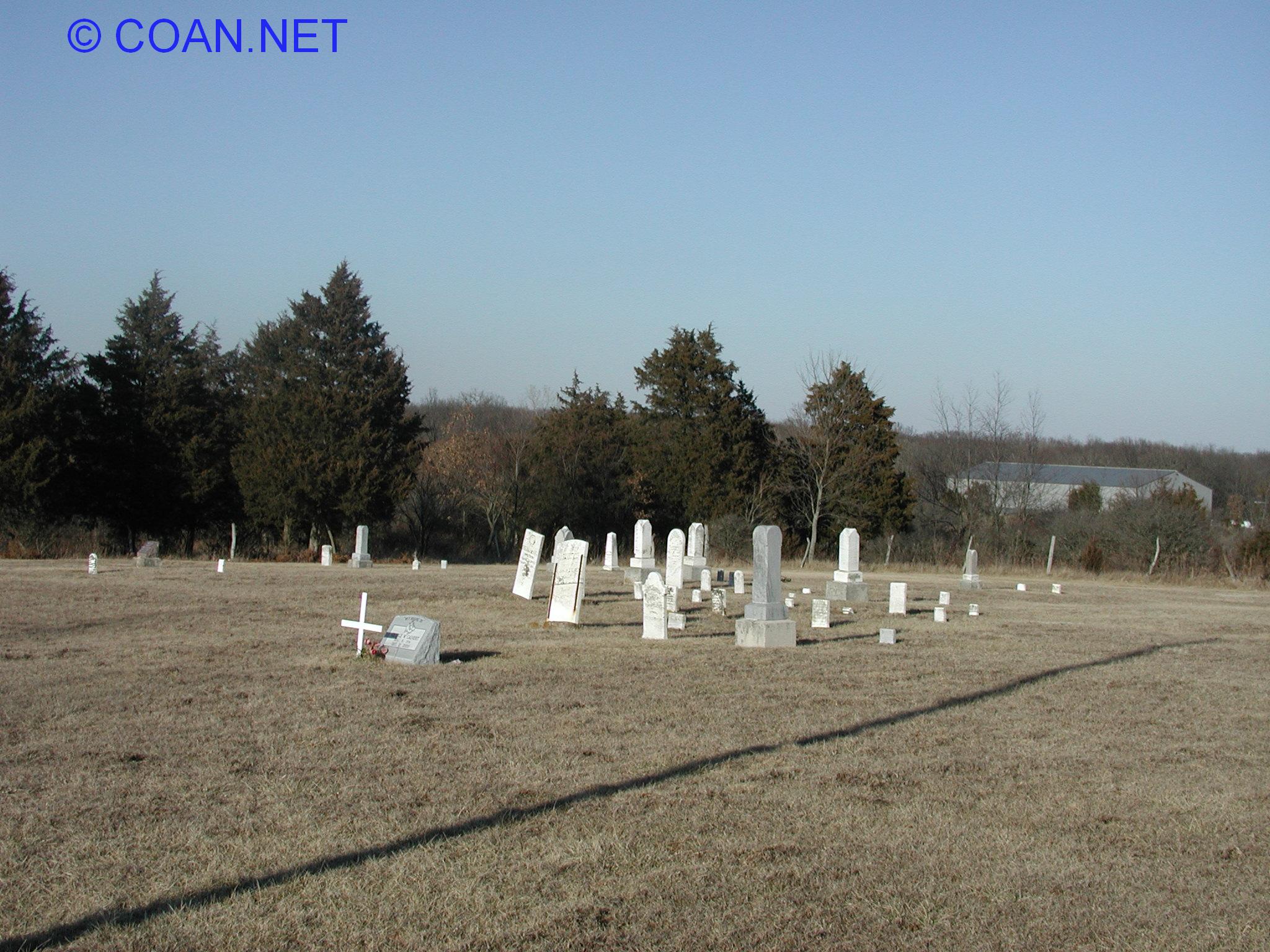
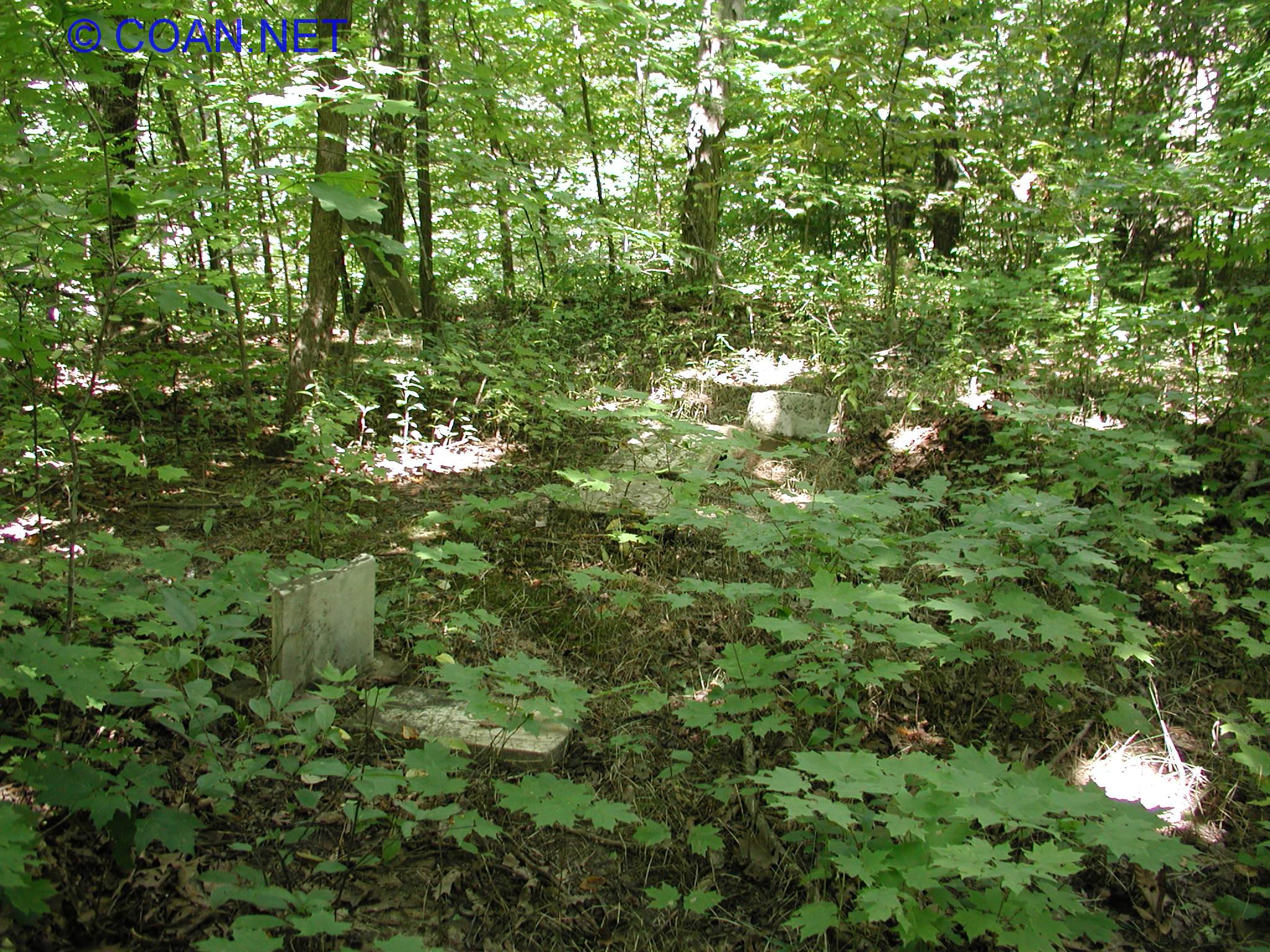
Picture: Picture of cemetery
Cemetery Name: Name of Cemetery
Location: Just a short description of where the cemetery is
Township: What township the cemetery is in
GPS Cords: GPS Coordinates of the Cemetery (taken by me from the cemetery unless otherwise noted)
Hist. Soc. #: The local Historical Society has a list of cemeteries, I've matched them up for easier reference to their list (found here)
Other Information: If cemetery is known by another name, or other information.
| Picture | Cemetery Name | Location | Township | GPS Cords | Hist. Soc. # | Other Information |
 |
Allhands Cemetery | East side of Kickapoo State Park | Catlin | 40.13746 -87.72725 | 81 | |
 |
Atherton Cemetery | SE Danville | Danville | 40.10851 -87.59299 | 69 | Adjacent to Old Atherton & Sanhill Memorial Park Cemetery. Some graves were moved here from the old Danville Cemetery late 1800's |
 |
Bethel Cemetery (Blount) | NW of Danville | Blount | 40.2247 -87.7264 | 27 | 3 Bethel Cemeteries in county |
 |
Bethel Cemetery (Love) | East of Ridge Farm | Love | 39.90005 -87.54025 | 121 | 3 Bethel Cemeteries in county |
 |
Bethel Cemetery (Ross) | North of Alvin | Ross | 40.330556 -87.620278 | 17 | Formerly known as Wiseman. 3 Bethel Cemeteries in county |
 |
Bock Cemetery | East of Westville | McKendree | 40.03009 -87.56766 | 103 | |
 |
Bodkin Cemetery | NE of Homer | Vance | 40.07737 -87.92073 | 75 | |
 |
Brierly Cemetery | East of Danville, south of Airport | Newell | 40.1828 -87.5956 | 46 | sometimes misspelled as Bryley |
 |
Brittingham Family Plot | North of Oakwood | Oakwood | just east of 40.14896 -87.76906 | 52 | Supposable at least 1 stone visible, I could never find it. |
 |
Caraway Family Plot | Westville | Georgetown | 40.04880 -87.633860 | 92 | |
 |
Collison Cemetery | South of Potomac | Pilot | 40.22465 -87.79922 | 21 | Sometimes called Pilot Chapel Cemetery |
 |
County Poor Farm Cemetery | West of Tilton | Catlin | 40.09925 -87.66606 | 84a | Adjacent to Songer Cemetery |
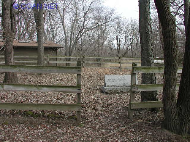 |
Cox Cemetery | Inside Kickapoo State Park | Catlin | 40.13499 -87.73786 | 80 | Sometimes referred to as Cox Family Plot |
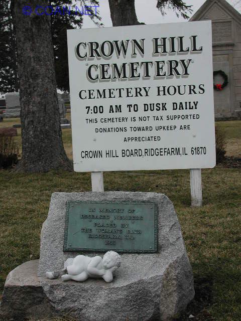 |
Crown Hill Cemetery | South Ridge Farm | Elwood | 39.89227 -87.65842 | 116 | |
 |
Danville Lutheran Cemetery | Danville | Danville | 40.11578 -87.60566 | 66 | Also known as Lutheran Cemetery |
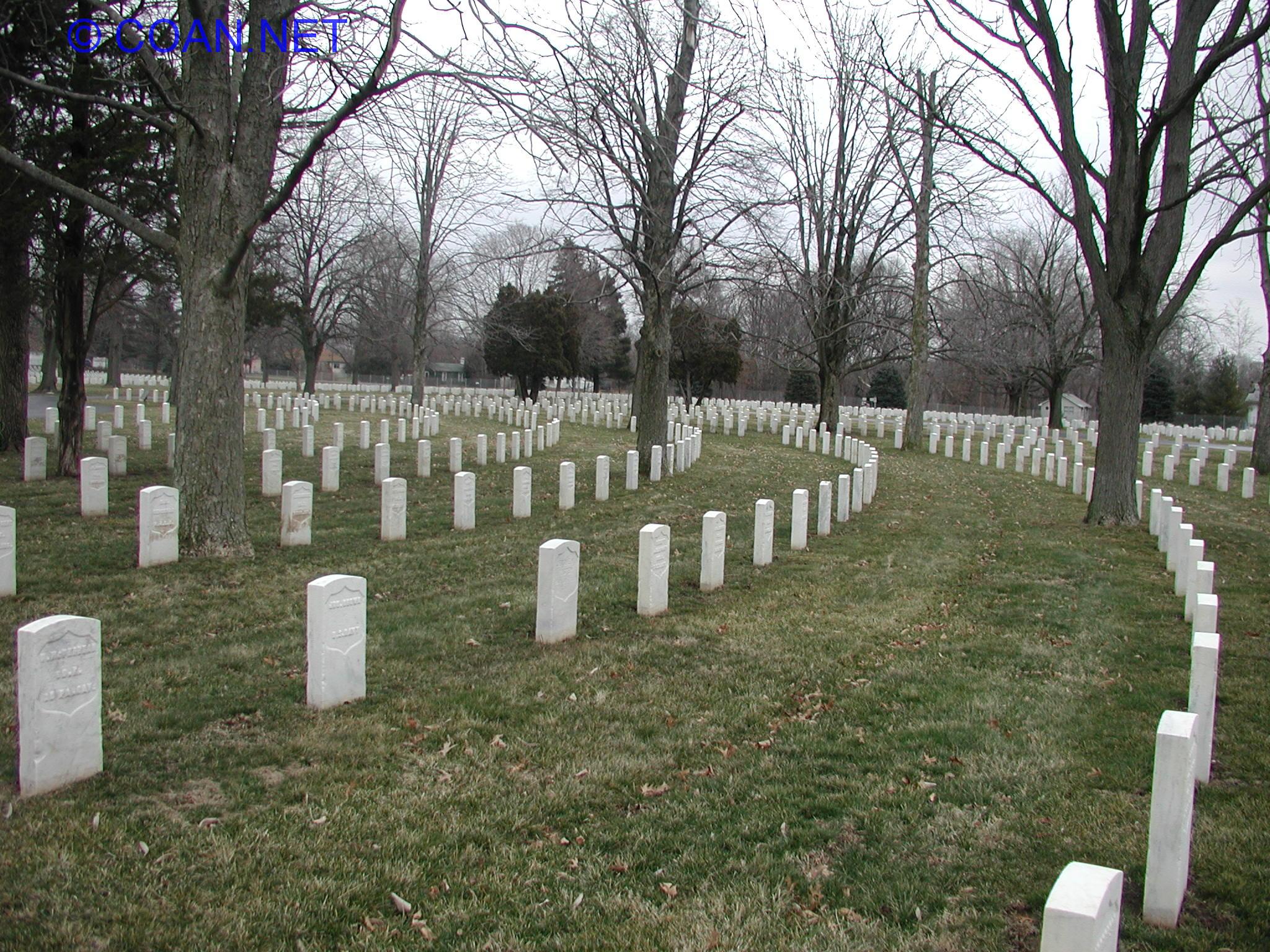 |
Danville National Cemetery | Danville | Danville | 40.12712 -87.57977 | 62 | Also known as Veterans Cemetery |
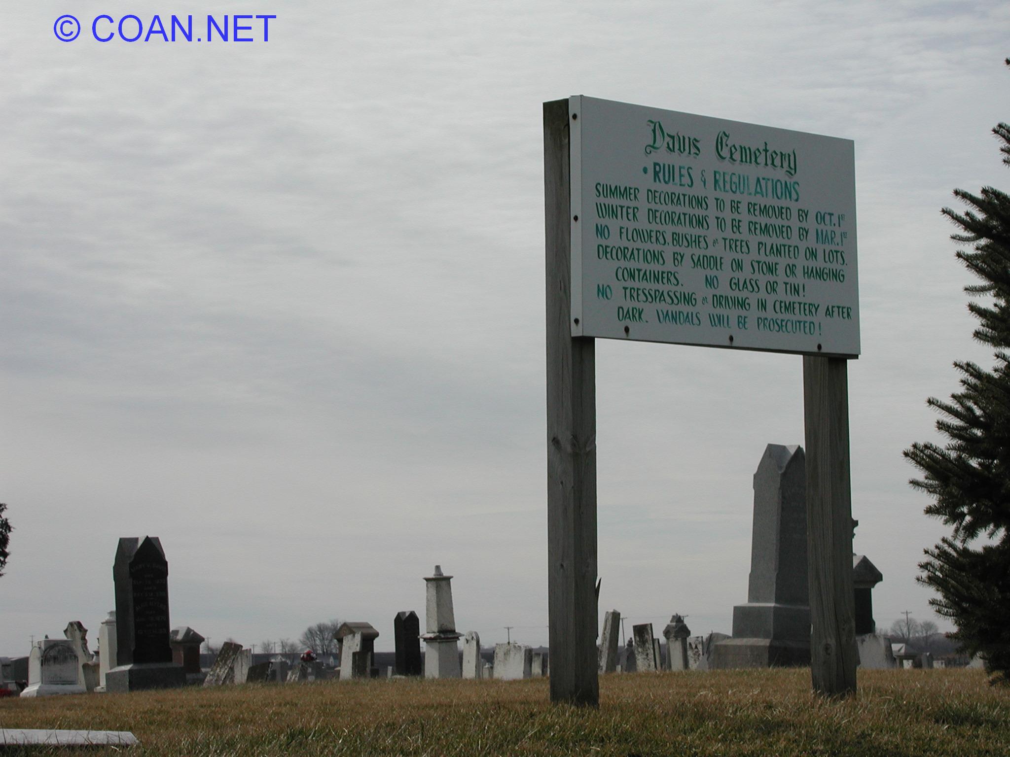 |
Davis Cemetery | North of Fairmount | Vance | 40.04861 -87.85901 | 78 | |
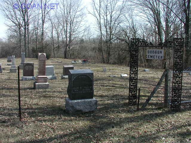 |
Dodson Cemetery | inside Kennekuk Cove State Park | Blount | 40.20385 -87.71610 | 33 | Formerly known as Baptist Cemetery |
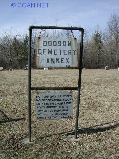 |
Dodson Cemetery Annex | inside Kennekuk Cove State Park | Blount | 40.20422 -87.71697 | none | |
 |
Dougherty Cemetery | NE of Fairmount | Vance | need to visit | 76 | sometimes misspelled as Daugherty |
 |
Dukes Cemetery | East of Westville | Georgetown | 40.04994 -87.62537 | 91 | Also known as Brooks Point & Blakeney Cemetery |
 |
East Lynn Cemetery | South of East Lynn | Butler | 40.45444 -87-80100 | 3 | |
 |
Elwood Friends Cemetery | SE of Georgetown | McKendree | 39.96347 -87.59888 | 106 | Also known as Elwood Church |
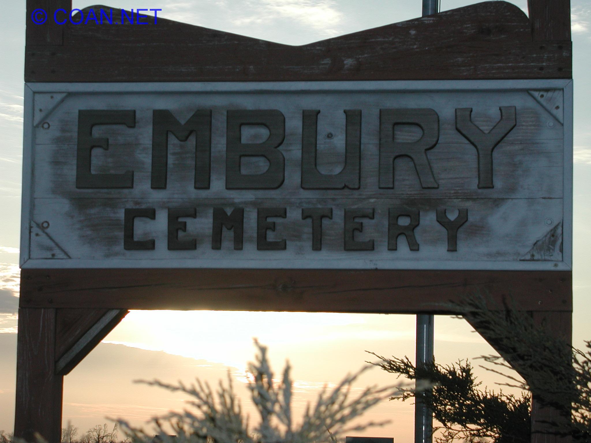 |
Embury Cemetery | SW of Potomac | Pilot | 40.20147 -87.84573 | 22 | Sometimes referred to as Embury Chapel Cemetery. 4 graves moved from Price Cemetery to here |
 |
Fairchild Cemetery | NW of Danville | Blount | 40.21723 -87.71154 | 28 | Brick Church Cemetery, Fairchild Cemetery Savanna. Now an "Illinois Nature Preserve" - a place to grow "Prairie grass" |
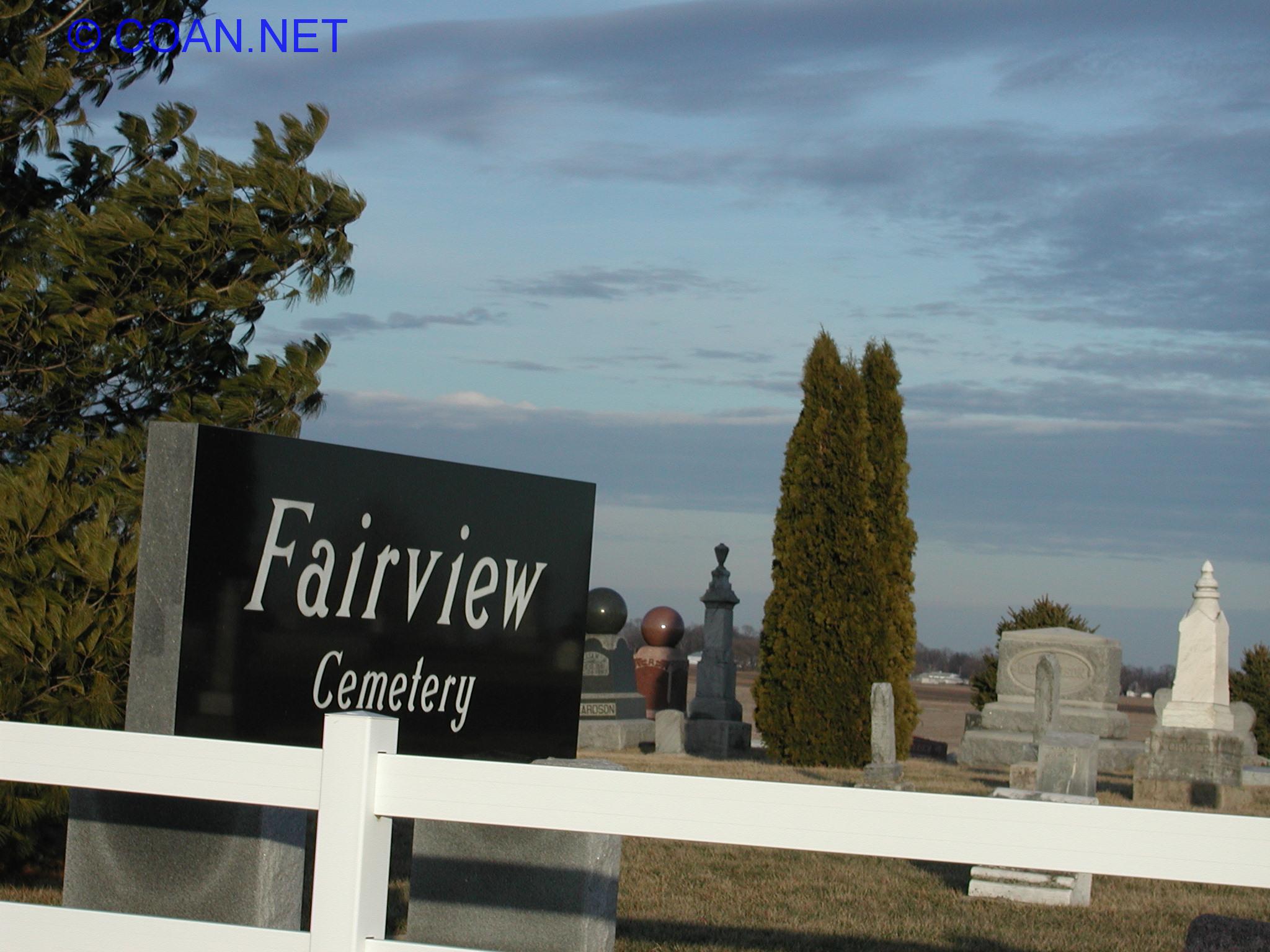 |
Fairview Cemetery | SW of Sidell | Sidell | 39.89891 -87.84560 | 107 | |
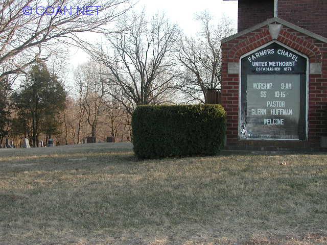 |
Farmers Chapel Cemetery | North Danville | Newell | 40.18597 -87.61252 | 45 | |
 |
Floral Hill Cemetery | NOT IN VERM. Co. | Grant | 40.49044 -87.66969 | 4 | This cemetery is mostly in Iroquois County - a very VERY small sliver in the south-east corner of the cemetery is in Vermilion. I including this here since I see many include this in Vermilion County. Cared for by city of Hoopeston |
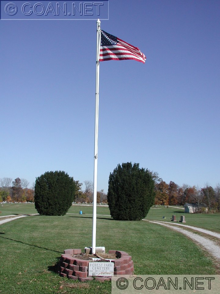 |
Forest Park Cemetery | Georgetown | Georgetown | 39.97431 -87.62376 | 97 | Adjacent to Georgetown Cemetery - Forest Park is on the East side |
 |
Forse Cemetery | East of Westville | Danville | (aprox) 40.05984 -87.568358 | 74 | Sometimes misspelled as Force Cemetery. Located on private property |
 |
Georgetown Cemetery | Georgetown | Georgetown | 39.97431 -87.62376 | 97a | Adjacent to Forest Park Cemetery, Georgetown on West side (divide line not marked) |
 |
Gods Acre Cemetery | Catlin | Catlin | 40.05680 -87.71724 | 90 | Also known as Butler Cemetery |
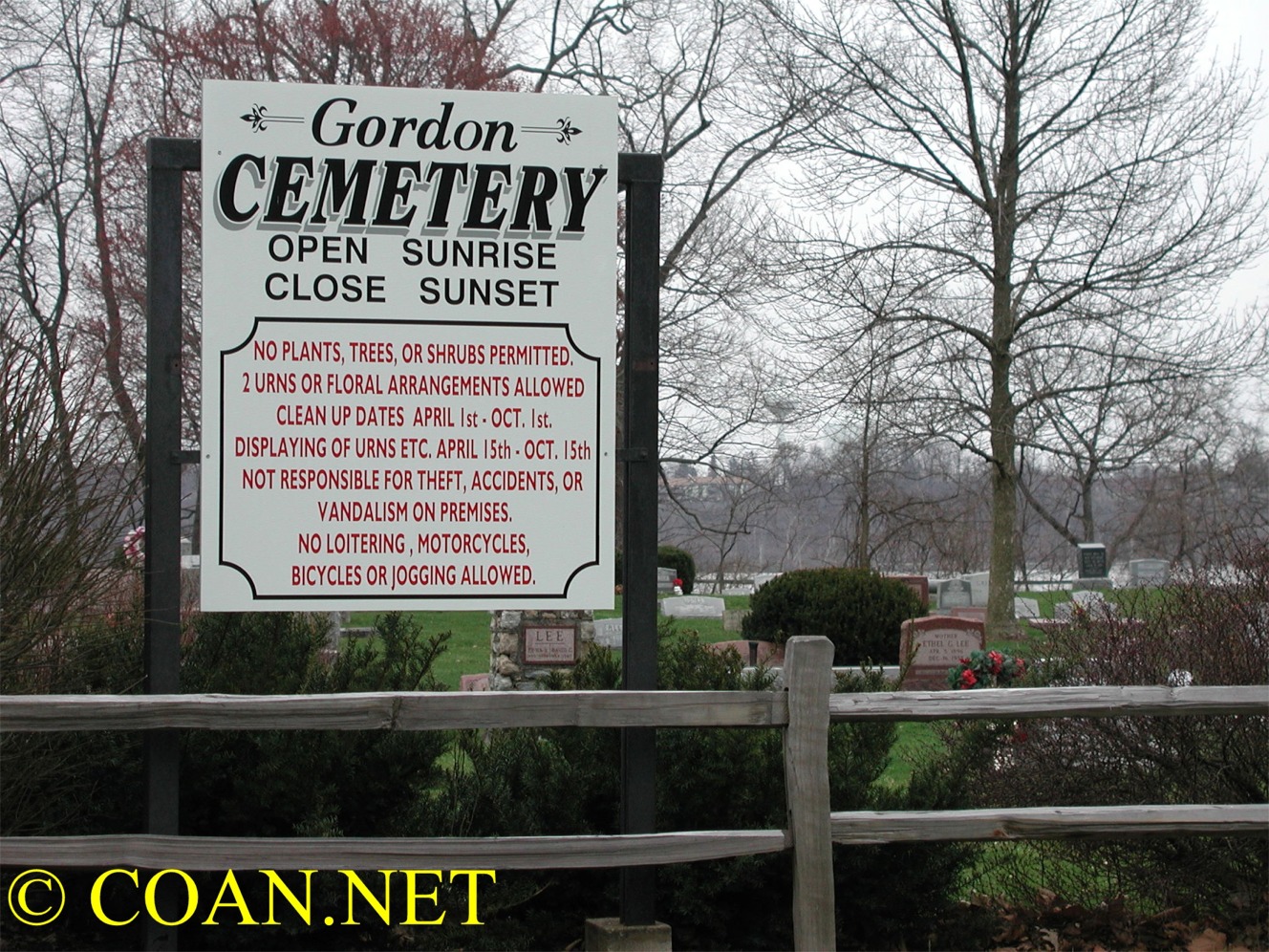 |
Gordon Cemetery | NE Danville | Blount | 40.16962 -87.64686 | 38 | |
 |
Greenview Cemetery | Fairmount | Vance | 40.04651 -87.83923 | 79 | Also known as Fairmount Cemetery |
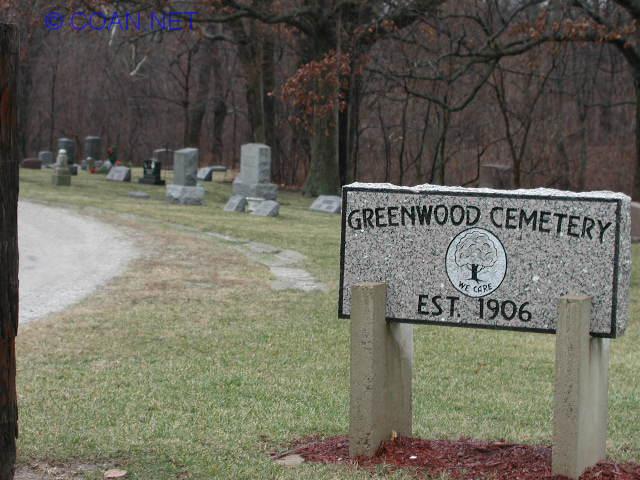 |
Greenwood Cemetery | East Tilton | Danville | 40.10268 -87.62106 | 65 | Located on both sides of 14th St. |
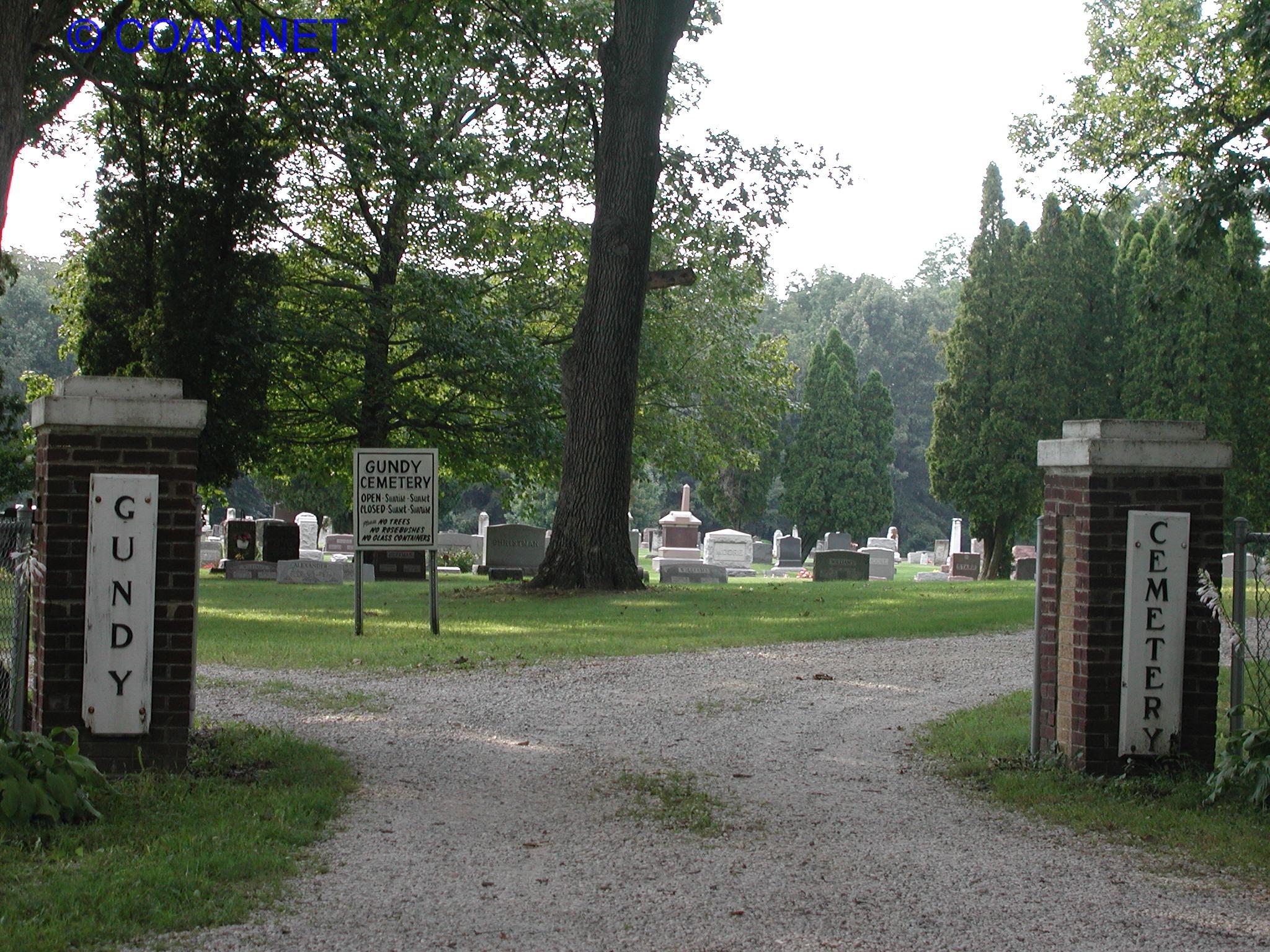 |
Gundy Cemetery | East of Bismarck | Newell | 40.27092 -87.64274 | 47 | Also known as Davison Cemetery |
|
|
Hickman Cemetery | NE of Fairmount | Catlin | need to visit | 85 | |
 |
Higginsville Cemetery | SE of Potomac | Blount | 40.24301 -87.77138 | 39a | Also known as Smalley Cemetery |
 |
Hooton Cemetery | South Tilton | Danville | 40.09421 -87.63470 | 71 | Sometimes misspelled as Hooten Cemetery |
 |
Huffman Cemetery | NE of Danville | Newell | 40.22803 -87.57344 | 41 | |
 |
Humrick Cemetery | East of Ridge Farm | Love | 39.9122, -87.54499 | 120 | Also known as Collier Cemetery |
|
|
Ingersol Cemetery | North of Potomac | Middle Fork | need to visit | 7a | Sometimes misspelled as Ingersoll Cemetery |
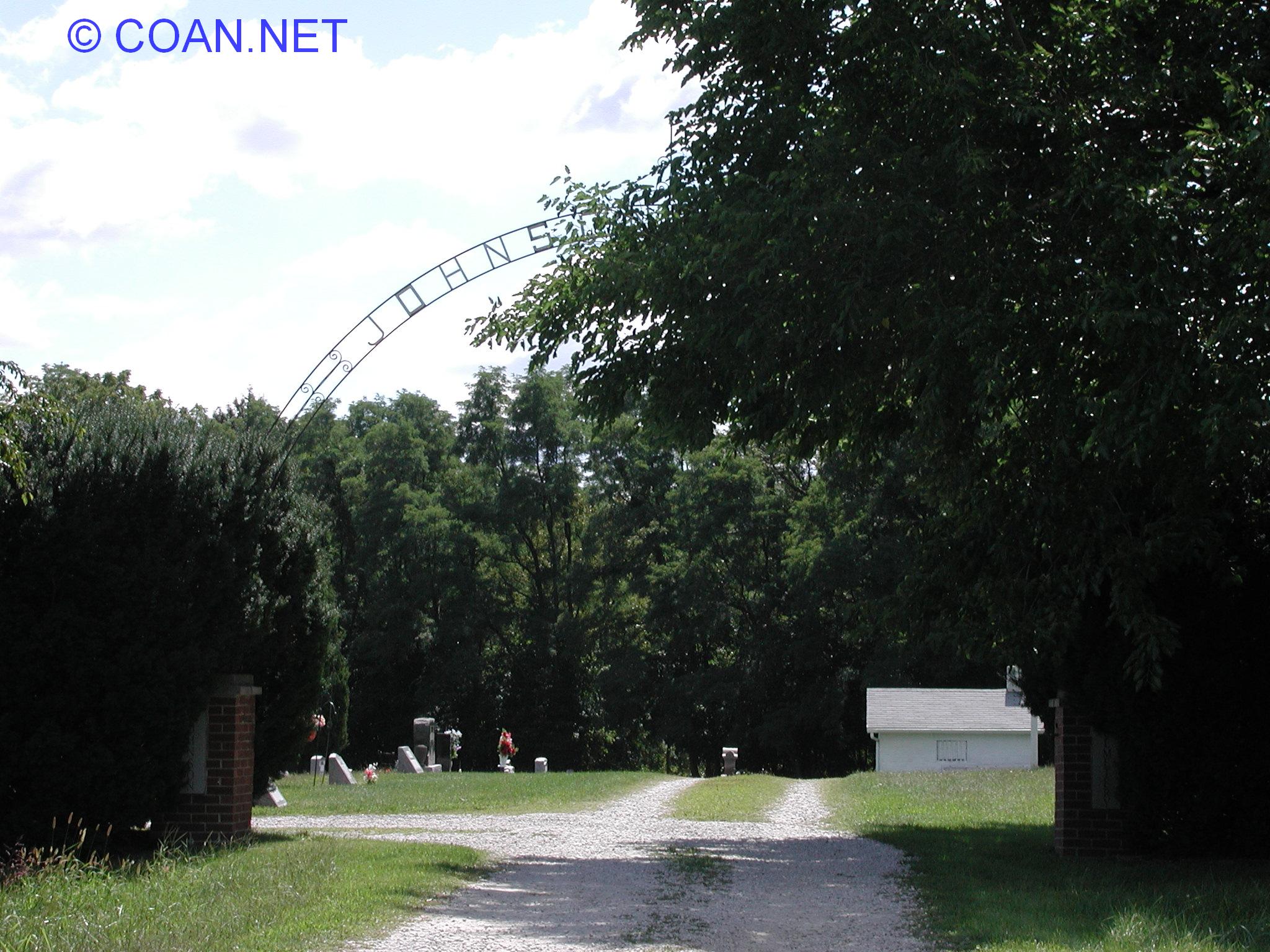 |
Johnson Cemetery | NW of Danville | Blount | 40.20898 -87.66709 | 30 | |
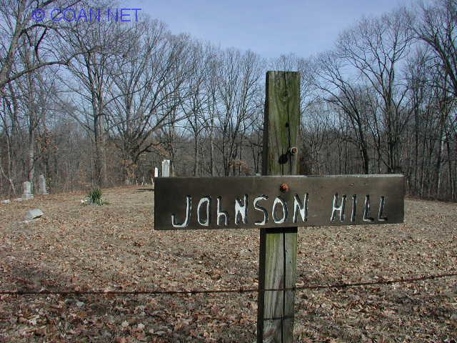 |
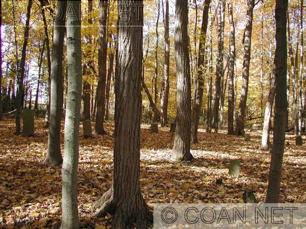
Johnson Hill Cemetery | In Kickapoo State Park, NE of Oakwood | Oakwood | 40.15820 -87.75060 | 53 | Sometimes called Johnson Cemetery |
 |
Johnsonville Cemetery | NW of Danville | Blount | 40.21048 -87.67095 | 29-31 ? | I've always known this cemetery as Johnsonville, Genealogy place calls this cemetery: Thurman, Humphrey, Steward, & Mt. Pleasant. (I consider Thurman the cemetery which is about 1/2 mile East of here) |
 |
Jones Grove Cemetery | Catlin | Catlin | 40.07173 -87.70002 | 88 | Also known as English |
|
|
Kight's Family Plot | North of Alvin | Ross | need to visit | 14 | approx location is 40.3541, -87.6024 - north side of creek, about .3 miles west of road. In 1988, only 1 stone remained. Many stones at one time. |
 |
Knights Branch Cemetery | SW of Potomac | Pilot | 40.25403 -87.82696 | 18 | Also known as Endicott |
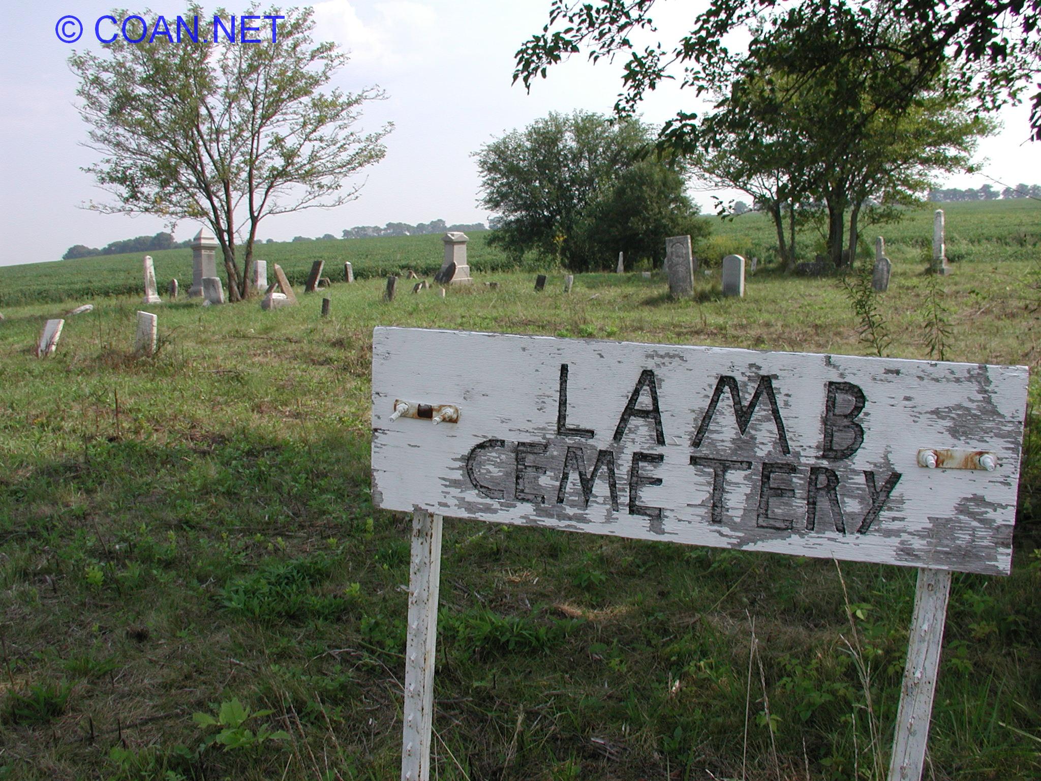 |
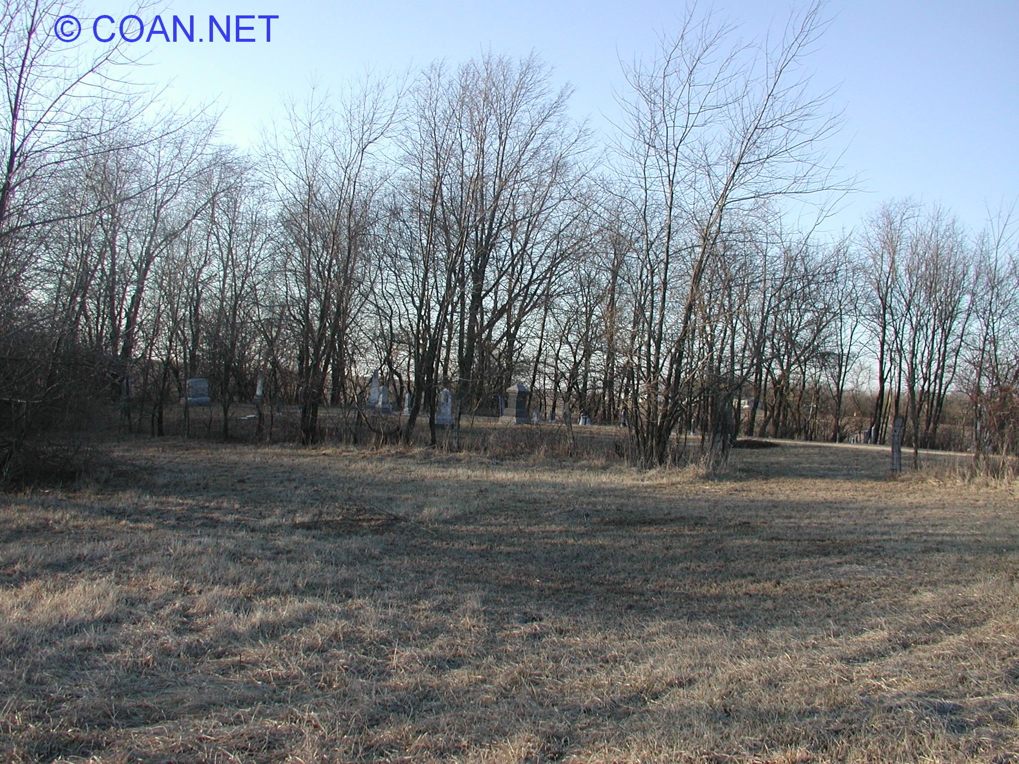
Lamb Cemetery | East of Danville, south of Airport | Newell | 40.16540 -87.56913 | 48 | Also known as Campbell |
|
|
Langley Cemetery | SE of Danville | Danville | need to visit | 72 | |
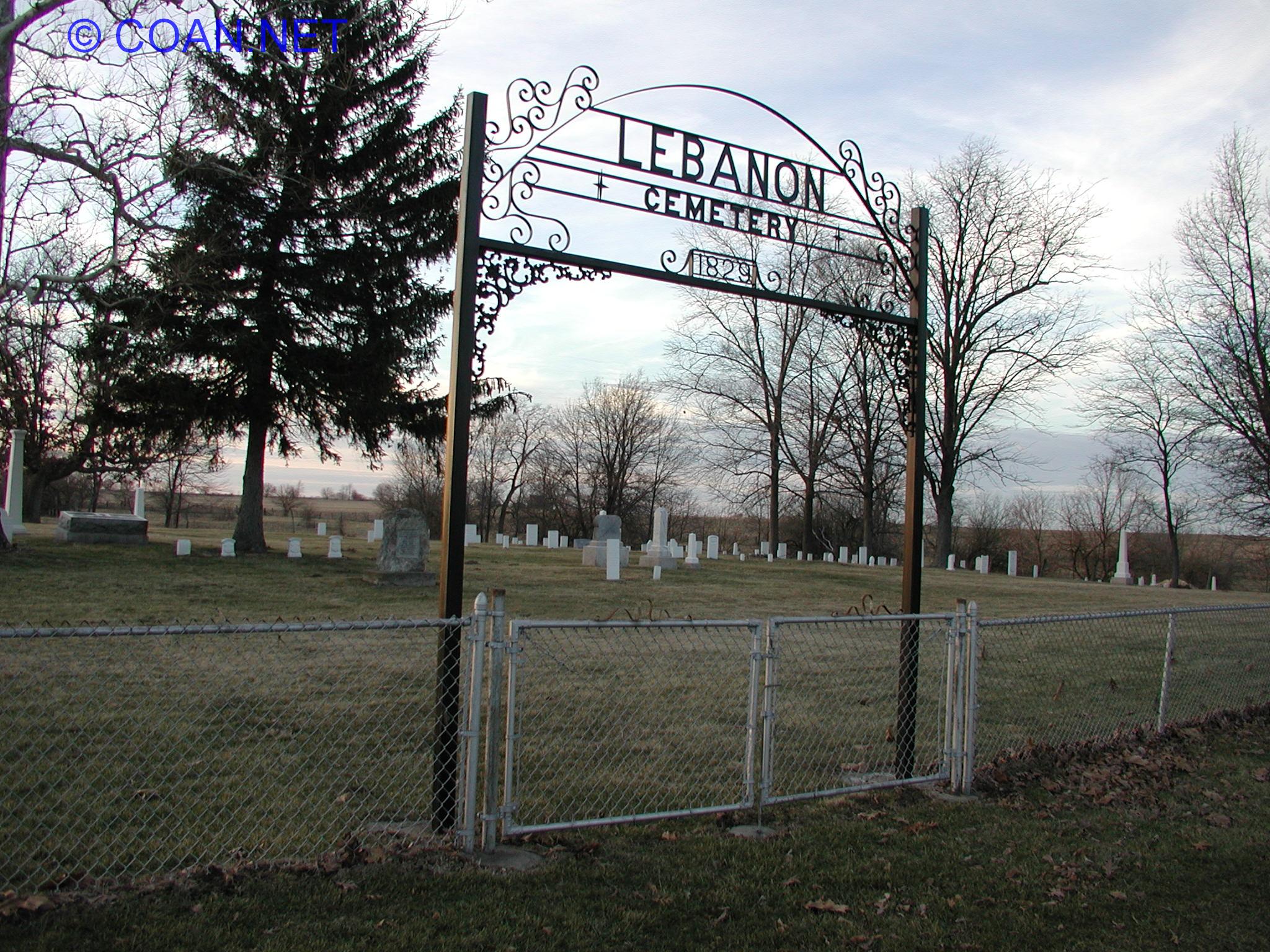 |
Lebanon Cemetery | SW of Indianola | Carroll | 39.91456 -87.74982 | 113 | |
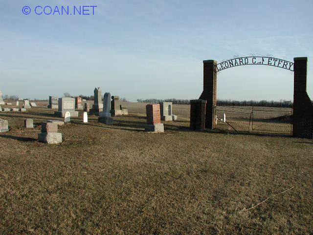 |
Leonard Cemetery | NE of Danville | Newell | 40.22625 -87.59864 | 42 | |
 |
Locket Cemetery | East of Westville | McKendree | 40.03226 -87.58587 | 102 | |
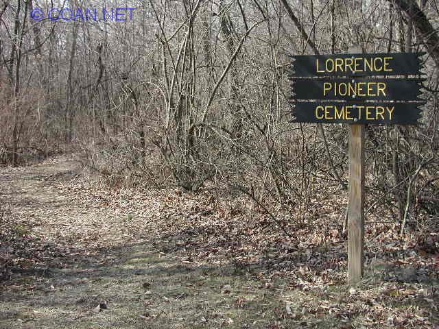 |
Lorrence Pioneer Cemetery | Blount | 40.20063 -87.72632 | 32 | ||
 |
Lynch Cemetery | East Danville | Danville | 40.13254 -87.56920 | 63 | |
 |
Makemson Cemetery | North of Oakwood | Oakwood | 40.13669 -87.77970 | 56 | |
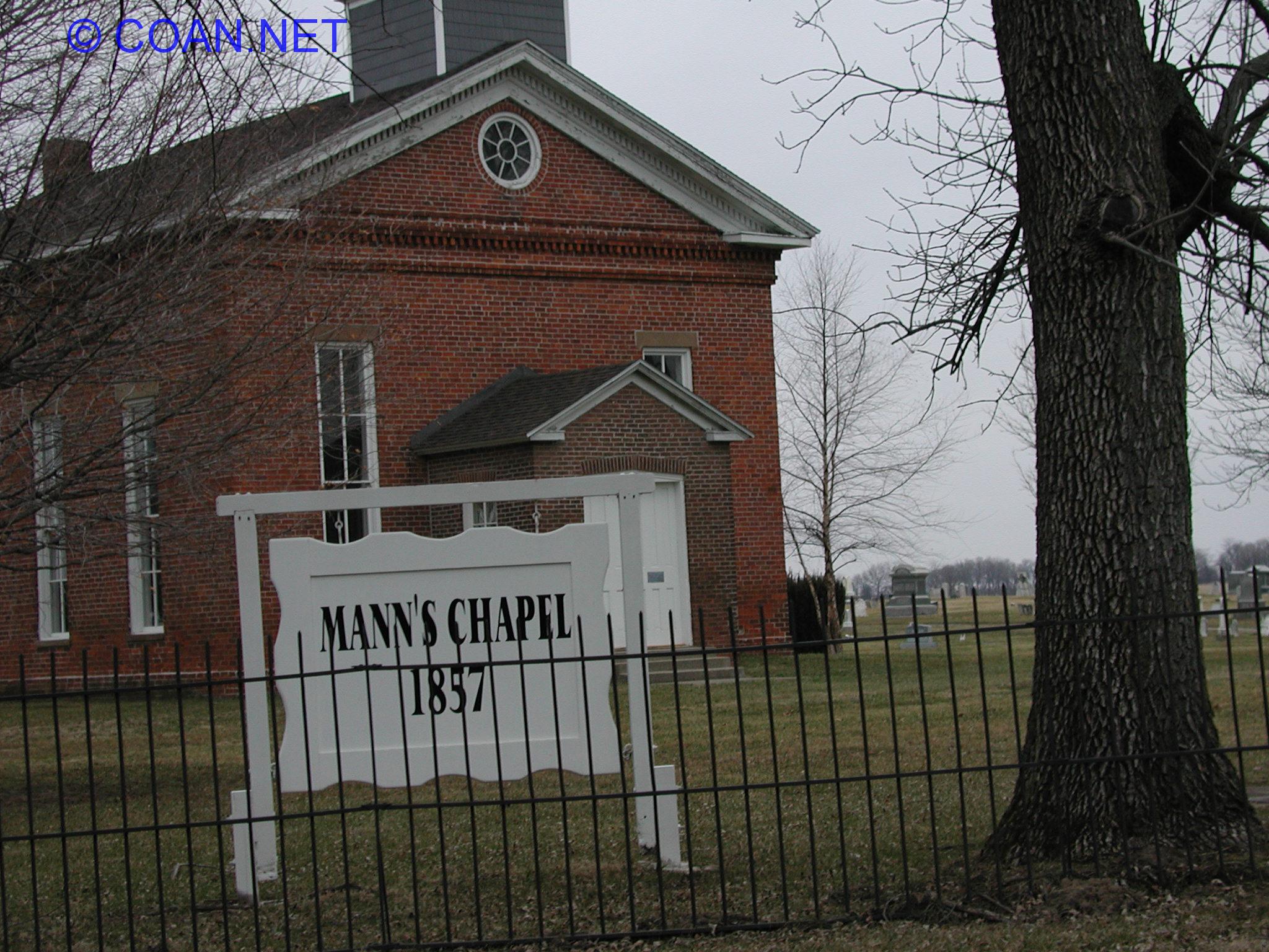 |
Mann's Chapel Cemetery | Ross | 40.33246 -87.65855 | 16 | ||
|
|
Mann's Family Plot | Near Mann's somewhere | Ross | need to visit | 15 | |
 |
McBride Family Plot | McKendree | 40.05390 -87.55283 | 100a | ||
 |
McFarland Cemetery | South of Muncie | Oakwood | 40.09660 -87.83984 | 59 | Also known as Dalbey Cemetery |
|
|
McGee Cemetery | Illinois Power land, North of Oakwood | Oakwood | need to visit | 51 | |
 |
McKendree Cemetery | NE of Georgetown | McKendree | 40.00045 -87.57177 | 104 | |
 |
Michael Cemetery | NE of Indianola | Carroll | 39.93240 -87.72065 | 111 | |
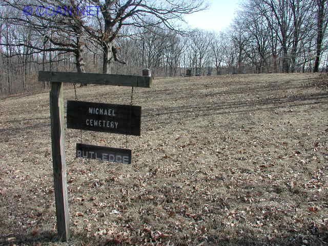 |
Michael-Rutledge Cemetery | In Kickapoo State Park, NE of Oakwood | Oakwood | 40.15820 -87.74945 | 54 | |
 |
Miller Cemetery | East of Rossville | Ross | 40.36771 -87.60814 | 13 | |
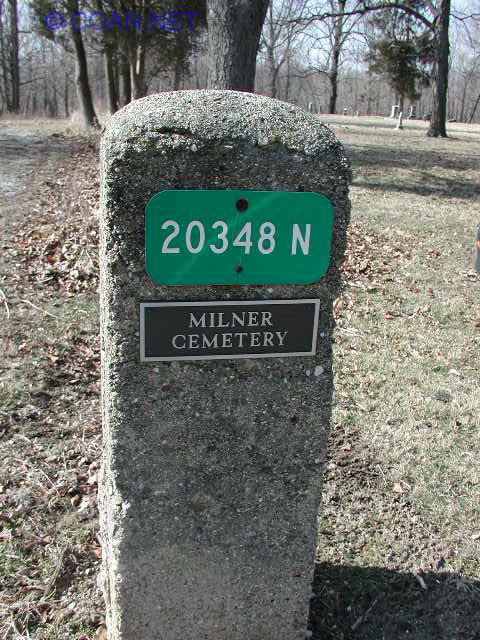 |
Milner Cemetery | Blount | 40.16551 -87.67400 | 37 | Also known as Cline | |
 |
Mount Pisgah Cemetery | West of Georgetown | Georgetown | 39.96871 -87.68369 | 98 | Also known as Concord Cemetery |
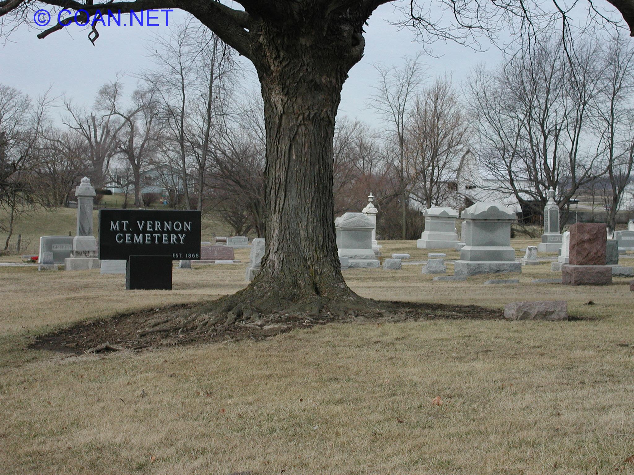 |
Mount Vernon Cemetery | NE of Fairmount | Catlin | 40.06535 -87.7843 | 87 | |
 |
New Salem Cemetery | SE of Potomac | Blount | 40.24145 -87.75070 | 26 | Also known as Salem Cemetery |
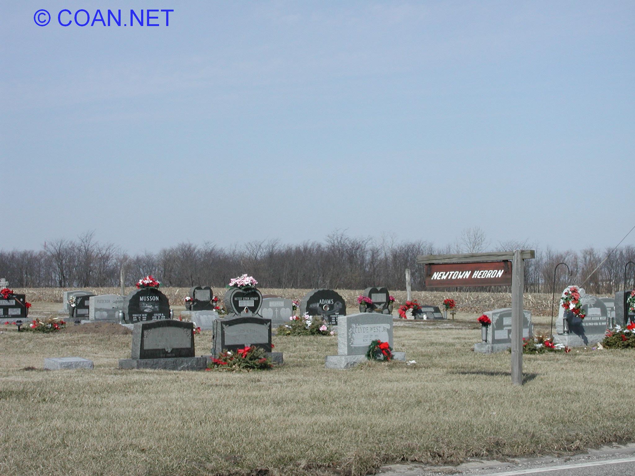 |
Newtown Hebron Cemetery | North of Oakwood | Oakwood | 40.17009 -87.76995 | 50 | Also known as Newtown Cemetery, Hebron Church Cemetery |
 |
Niccum Cemetery | East of Westville | McKendree | 40.04842 -87.54405 | 101 | |
 |
Nicholson Cemetery | East of Westville | McKendree | 40.05896 -87.58355 | 100 | Also known as Indian Paint, Indian Point |
 |
Oak Hill Cemetery | West of Danville | Danville | 40.11483 -87.71419 | 64 | Also known as Chester, Kistler Cemetery |
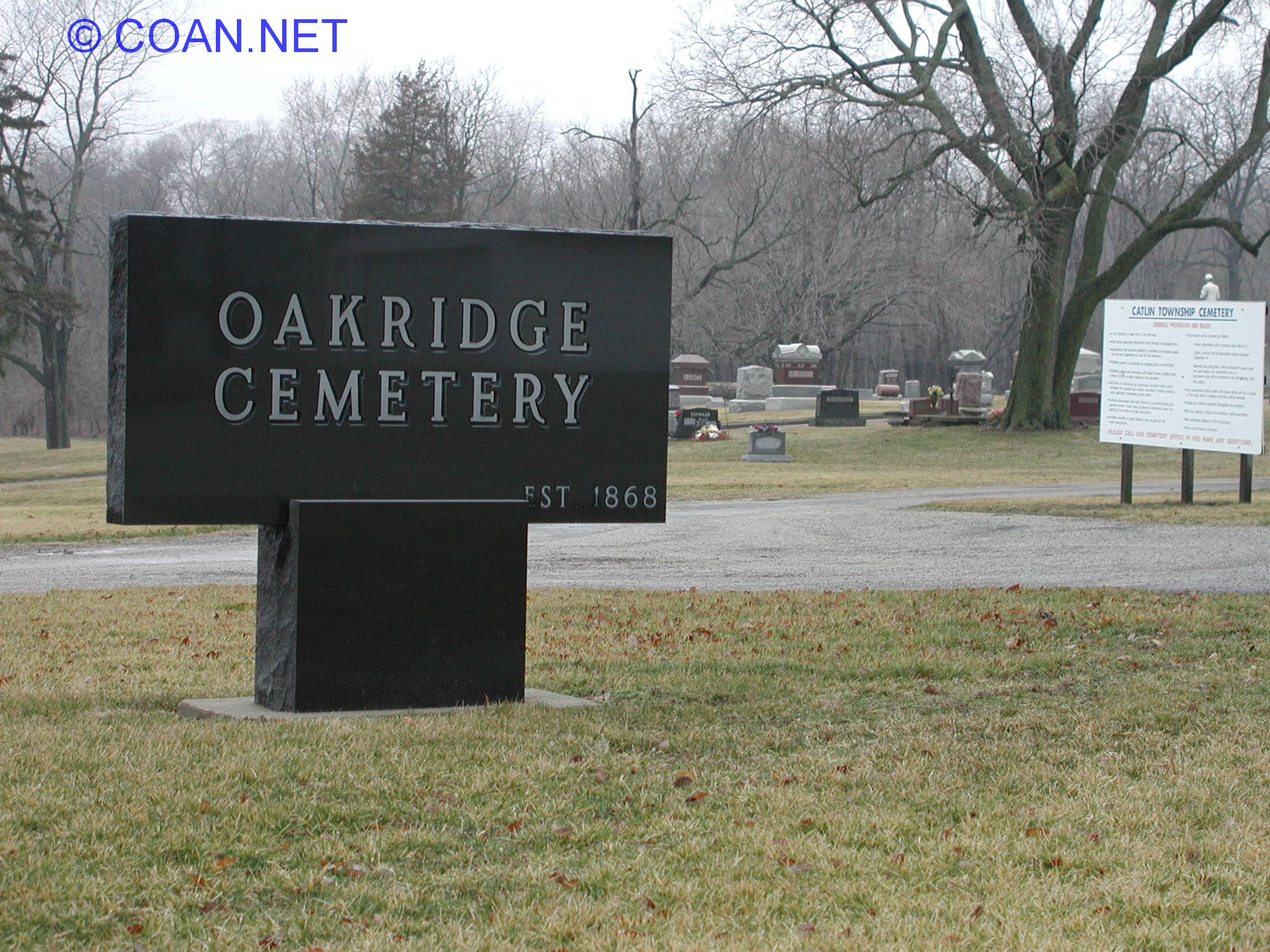 |
Oakridge Cemetery | Catlin | Catlin | 40.06691 -87.71680 | 89 | |
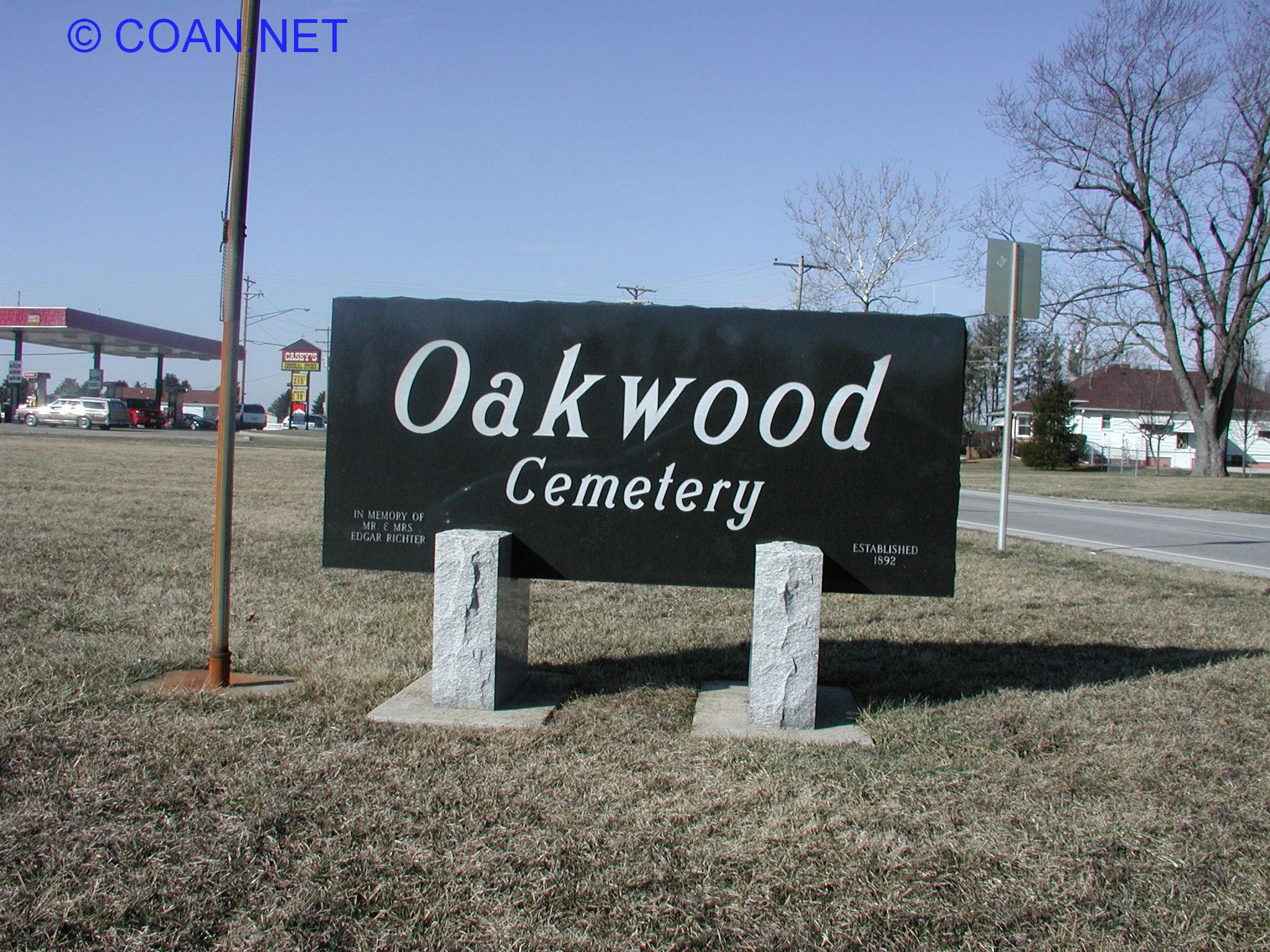 |
Oakwood Cemetery | Oakwood | Oakwood | 40.10742 -87.77631 | 58 | |
|
Old Atherton Cemetery | SE Danville | Danville | 40.10689 -87.59319 | 69a | |
|
|
Old Collison Cemetery | North of Collison (private property) | Pilot | need to visit | 20 | NE of (new) Collison Cemetery |
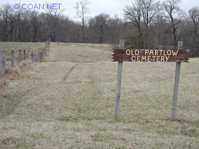 |
Old Partlow Cemetery | Middle Fork | 40.29350 -87.85325 | 10 | ||
 |
Pape Botanical Gardens | Danville | Danville | 40.13271 -87.62864 | 61a | |
|
|
Parish Cemetery | Danville | 40.06826 -87.59456 | 73 | Also known as Grape Creek Cemetery | |
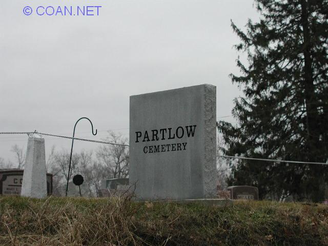 |
Partlow Cemetery | Middle Fork | 40.30035 -87.87669 | 9 | ||
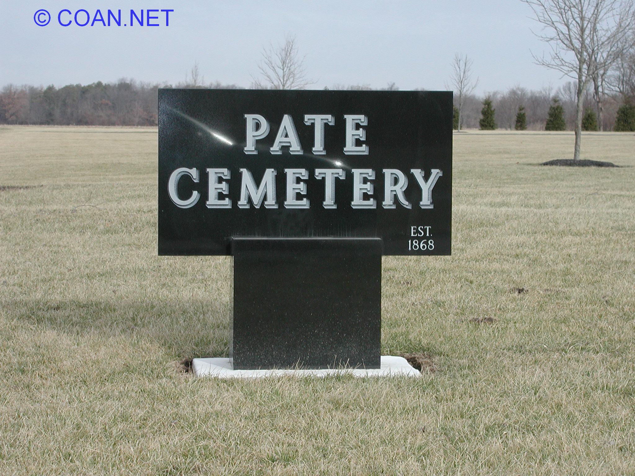 |
Pate Cemetery | NW of Catlin | Catlin | 40.09342 87.73093 | 82 | |
 |
Pellville Cemetery | Butler | 40.46136 -87.92474 | 2 | ||
|
|
Pentecost Cemetery | Blount | need to visit | 34 | Also known as DeMoss | |
 |
Pilot Grove Cemetery | Elwood | 39.88496 -87.61528 | 117 | ||
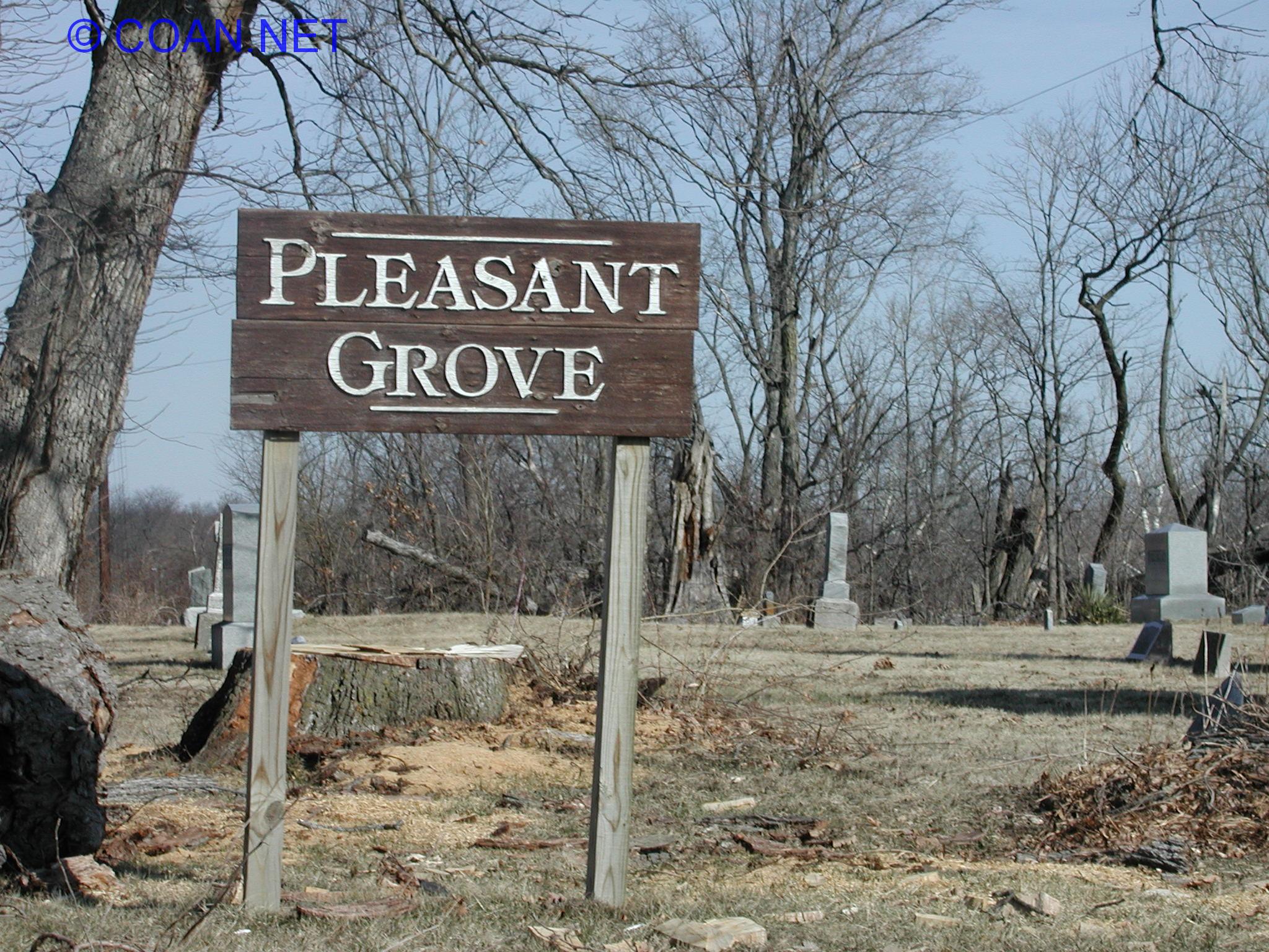 |
Pleasant Grove Cemetery | Oakwood | 40.14174 -87.77902 | 55 | ||
 |
Pleasant Mound Cemetery | West of Georgetown | Georgetown | 39.96970 -87.66653 | 96 | |
 |
Porter Cemetery | Blount | 40.23786 -87.77176 | 39b | ||
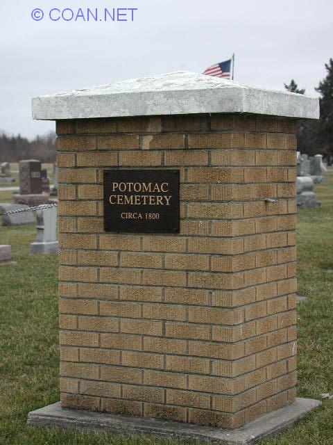 |
Potomac Cemetery | Potomac | Middle Fork | 40.30288 -87.78875 | 8 | Also known as Morehead |
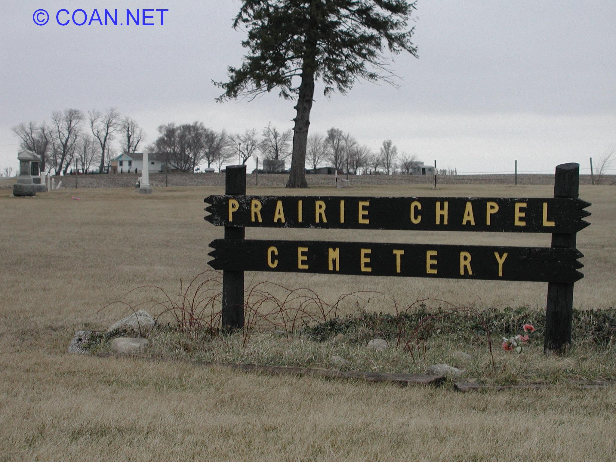 |
Prairie Chapel Cemetery | Ross | 40.37982 -87.75975 | 11 | ||
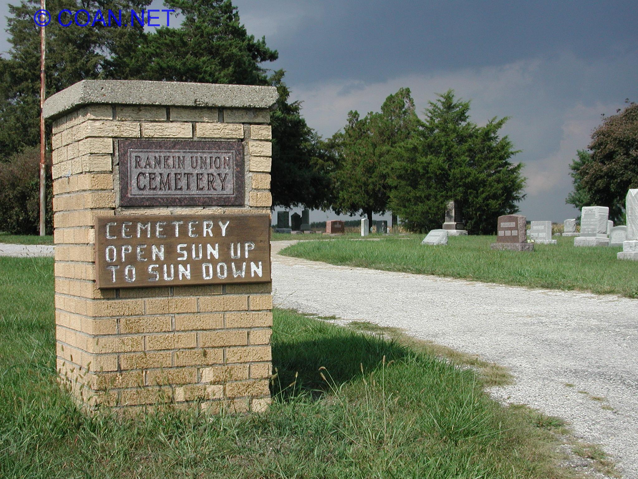 |
Rankin Union Cemetery | Butler | 40.47267 -87.88689 | 1 | Also known as Union Cemetery, Karter | |
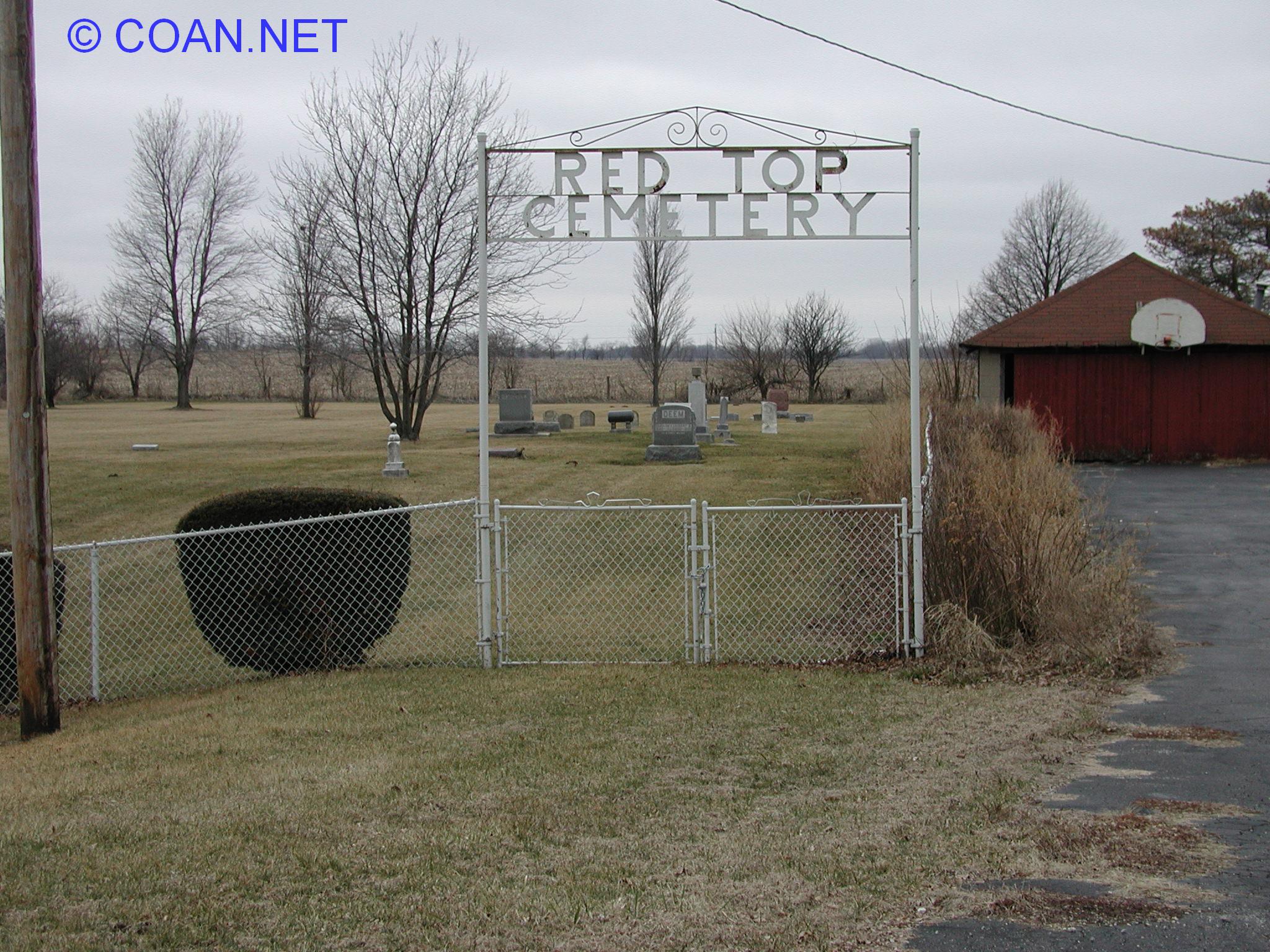 |
Red Top Cemetery | Grant | 40.42557 -87.68683 | 6 | ||
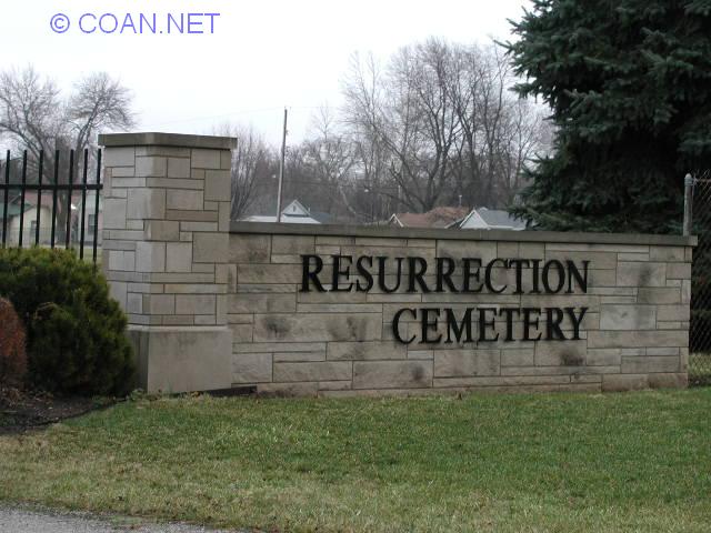 |
Resurrection Cemetery | Danville | 40.11245 -87.60716 | 67 | Also known as Saint Patrick's Cemetery | |
|
|
Rice Cemetery | Pilot | need to visit | 23 | Also known as Sandbar Cemetery | |
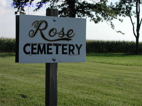 |
Rose Cemetery | Newell | 40.25501 -87.59699 | 40 | ||
 |
Rossville Cemetery | Rossville | Ross | 40.37387 -87.67307 | 12 | |
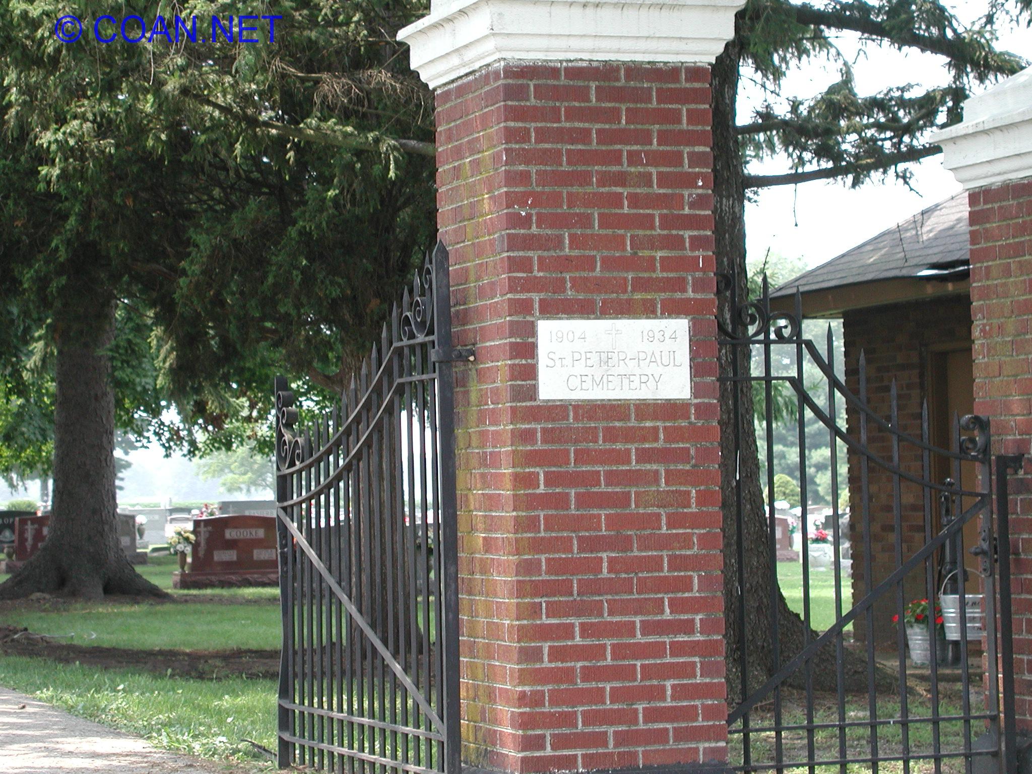 |
Saints Peter And Paul Cemetery | Georgetown | 40.03769 -87.62538 | 93 | ||
|
|
Sandusky Cemetery (Indianola) | Carroll | need to visit | 108 | Also known as Old Sodowsky / Old Sandusky | |
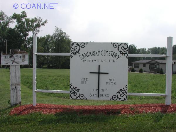 |
Sandusky Cemetery (Westville) | Georgetown | 40.03660 -87.60469 | 94 | ||
 |
Sanhill Memorial Park Cemetery | Danville | 40.10629 -87.59419 | 68 | ||
 |
Searl Cemetery | Oakwood | 40.12809 -87.73840 | 60a | ||
 |
Sharon Cemetery | Elwood | 39.94956 -87.63222 | 114 | Also known as Martha Smith | |
|
|
Shock | South of Oakwood | Oakwood | need to visit | 60 | |
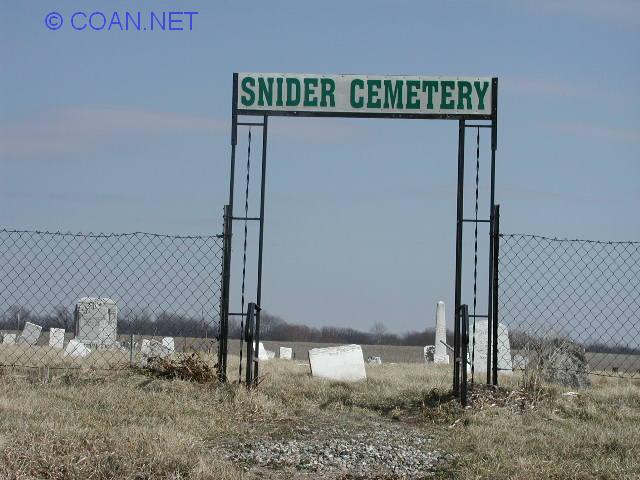 |
Snider Cemetery | Blount | 40.15439 -87.71594 | 39 | ||
|
|
Snyder / Outten Family | North of Oakwood | Pilot | 40.18077 -87.75803 | 25a | |
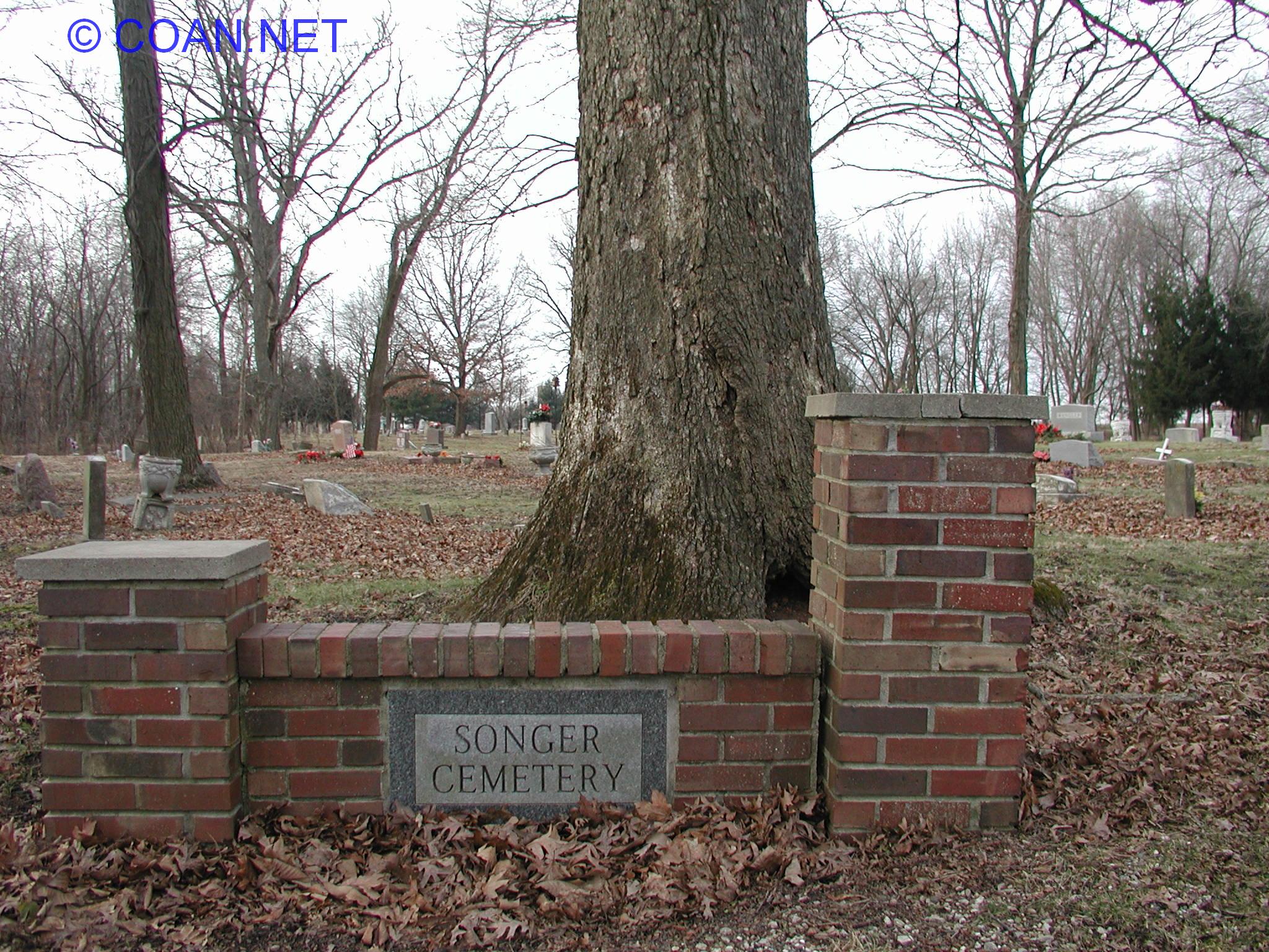 |
Songer Cemetery | Catlin | 40.10064 -87.66605 | 84 | Also known as John Payne Graveyard | |
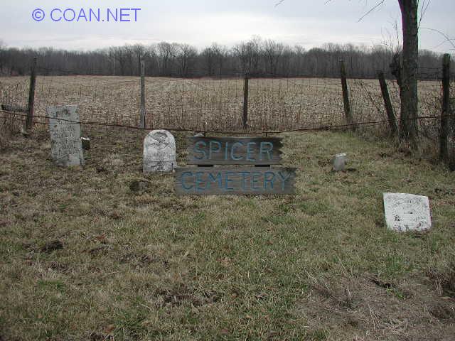 |
Spicer Cemetery | Georgetown | 39.96418 -87.65087 | 99 | Also known as Spicer Family Plot | |
 |
Spring Hill Cemetery and Mausoleum | Newell & Danville | 40.14507 -87.62554 | 49 & 61 | Such a big cemetery, it covers 2 townships (and has 2 Genealogy Soc. numbers to cover each township it is in) | |
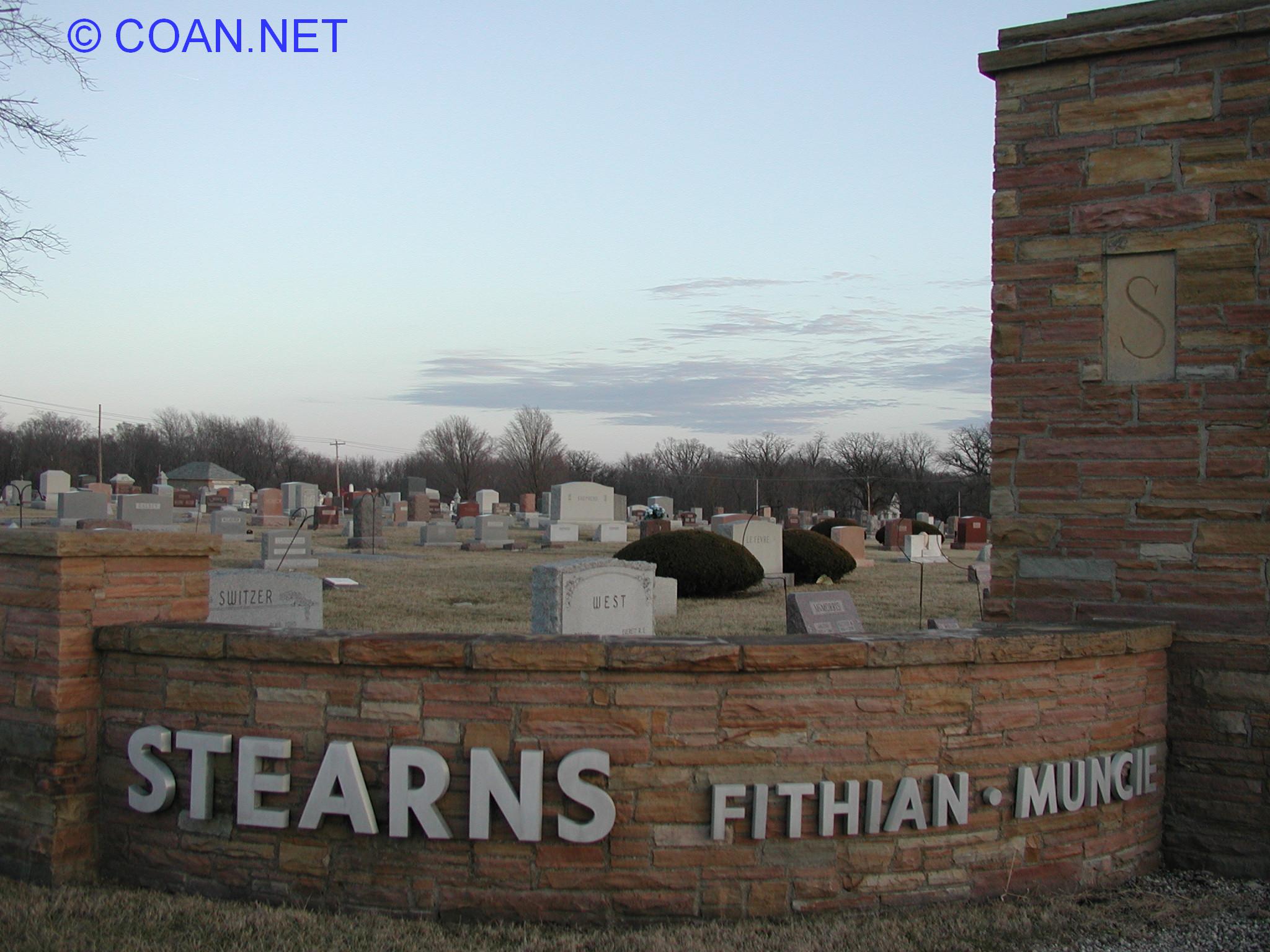 |
Stearns Cemetery | Oakwood | 40.12716 -87.86039 | 57 | ||
 |
Stump Cemetery | Pilot | 40.19685 -87.76685 | 24 | ||
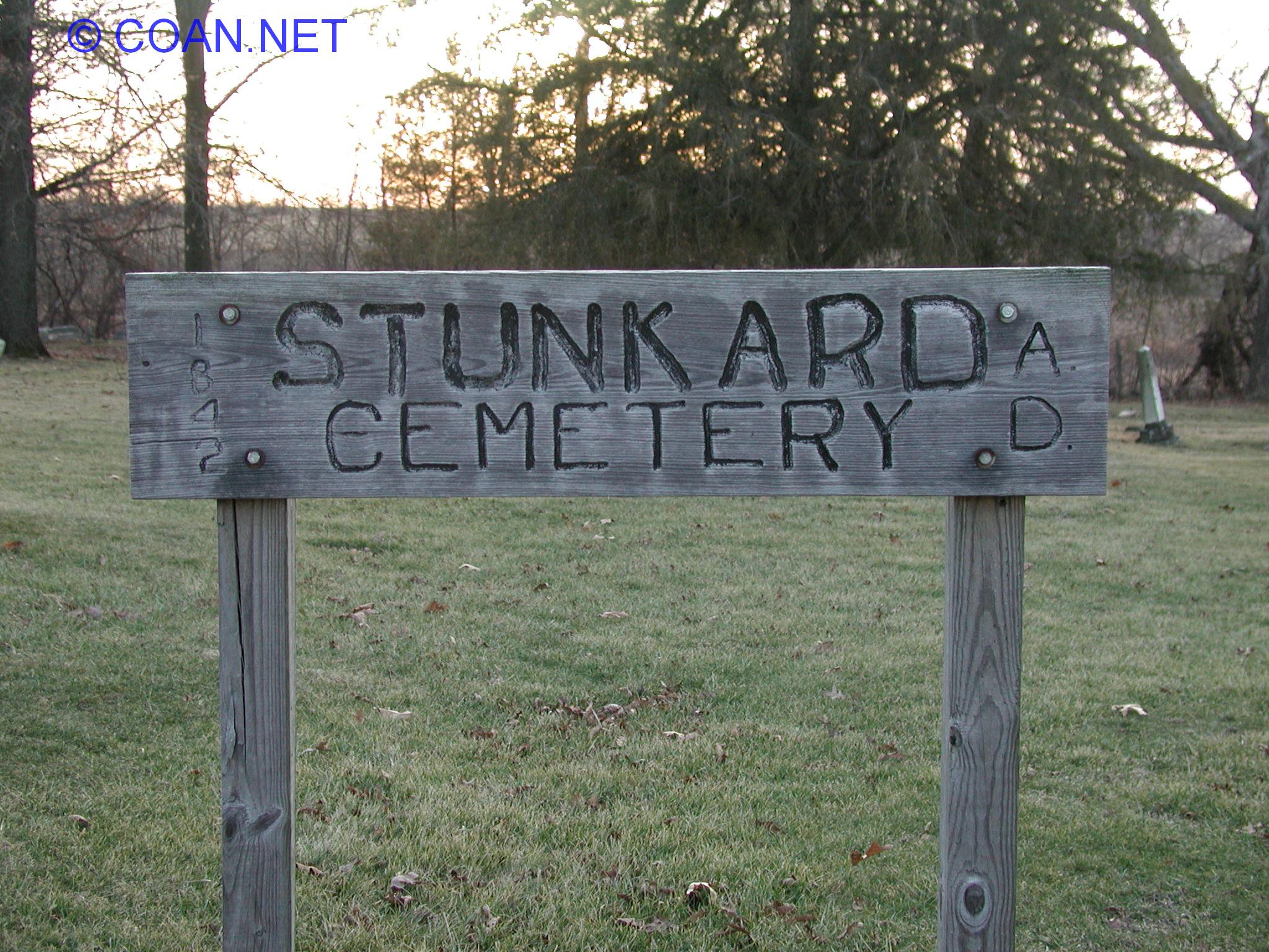 |
Stunkard Cemetery | Carroll | 39.90988 -87.79395 | 112 | ||
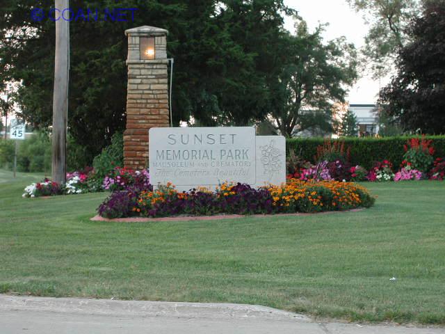 |
Sunset Memorial Park | Newell | 40.19726 -87.62813 | 44 | ||
 |
Thurman Cemetery | Blount | 40.21136 -87.66074 | 31-29 ? | I've always known this cemetery as Thurman, the Genealogy place calls this Swisher. (and calls the cemetery I know as Johnsonville as Thurman). This cemetery is about 1/2 mile east of "Johnsonville Cemetery" | |
 |
Trimmell Cemetery | Pilot | 40.17797 -87.77015 | 25 | ||
 |
Vermilion Grove Cemetery | Elwood | 39.92286 -87.65581 | 115 | ||
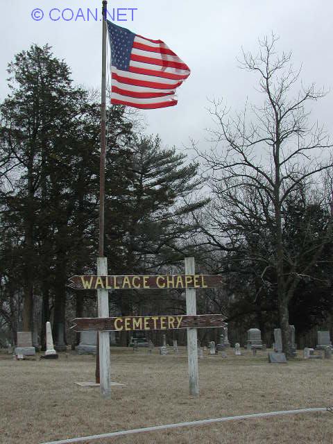 |
Wallace Chapel Cemetery | Middle Fork | 40.33586 -87.82028 | 7 | Also known as Judy Cemetery | |
 |
Walnut Corner Cemetery | Newell | 40.22196 -87.55472 | 43 | ||
 |
Weaver Cemetery | Carroll | 39.94542 -87.71338 | 109 | ||
 |
Westville Lithuanian Cemetery | Georgetown | 40.02114 -87.63362 | 95 | Also known as Lithuanian National | |
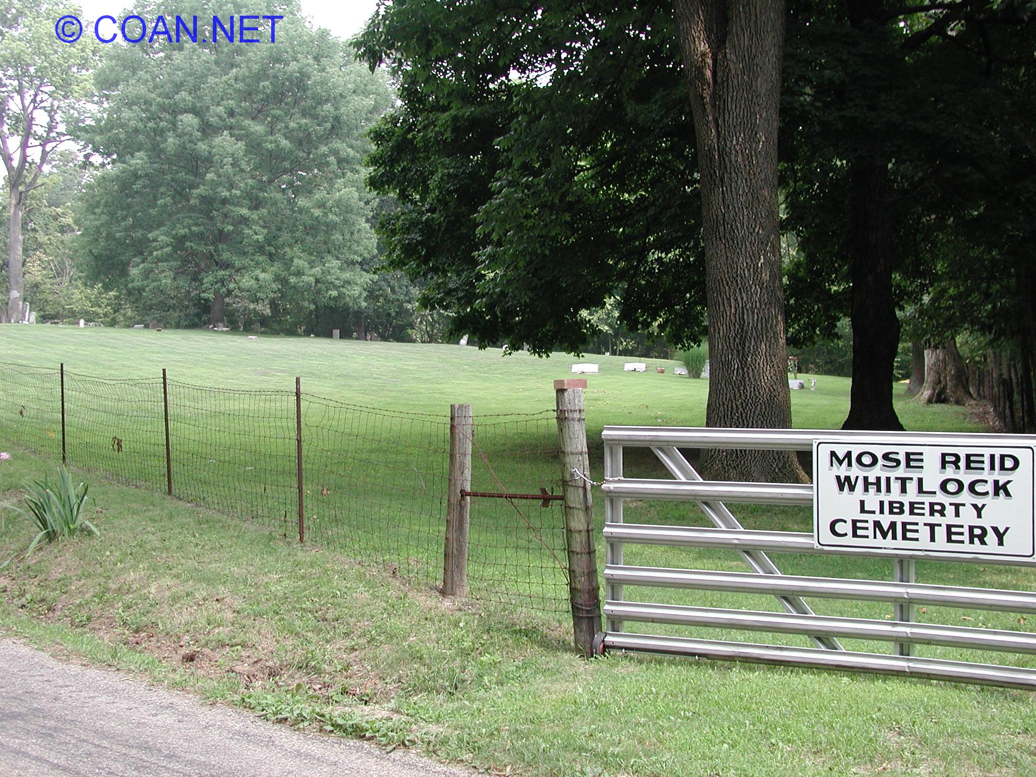 |
Whitlock Cemetery | Love | 39.94186 -87.54511 | 118 | Also known as Mose Reid, Liberty | |
 |
Woodlawn Cemetery | Carroll | 39.93891 -87.74979 | 110 | ||
 |
Wright-Sodowsky Cemetery | Catlin | 40.09933 -87.69122 | 83 | Also known as Wright Family Cemetery | |
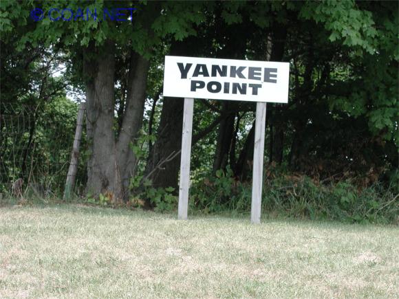 |
Yankee Point Cemetery | Love | 39.92438 -87.58906 | 119 | ||
| Below are cemeteries which have been DESTROYED, MOVED, or just unknown details. While doing research, I have found information here and there about them, and if possible - I try to figure out the GPS coordinated from the information I can find - BUT PLEASE KNOW - The locations are very approximated, with me going by written directions and trying to match that up with a map to get the readings. If you have any additional information about any of these cemeteries, please let me know. | ||||||
| What Happened to it? | Cemetery Name | Location | Township | GPS Cords | Hist. Soc. # | Other Information |
| Destroyed? | Adams Family Plot | South of Union Corner | McKendree | 40.0282, -87.5499 (VERY aprox.) | none | South of Union Corner (SE of Danville). Plot was in the center of an evergreen field. |
| Destroyed | Allen Family Plot | West of Alvin | Ross | (aprox) 40.3080 -87.6197 | none | |
| Unknown details | BlueGrass Cemetery | Along Bluegrass River, north of Ingersol Cemetery | none | Possible up to 3 "small" cemeteries along bluegrass river - north of Ingersol Cemetery. Possible family cemeteries or place to bury the poor. | ||
| Moved? / Destroyed | Denmark | West of Winter / Logan / Denmark road intersection | Newell | 40.1608, -87.6416 (VERY aprox.) | none | Now the site of Lake Vermilion. First burial around 1835, last in 1902. All, Some, or none of the graves may have been moved to Gordon Cemetery. Not sure. (Also known as Bailey Cemetery?) |
| Unknown / Destroyed? | Fielder | East of Oakwood | Oakwood | 40.1025, -87.7518 (approx location) | 60c | If it existed, 1 mile east, 1/2 mile south of Oakwood in Missionfield - possible only 2-3 small family plots ?? |
| Unknown details - Abandoned? | Grimes | North East of Kickapoo | Blount | 40.1670, -87.7276 (approx location) | 35 | at least 4 stones were standing at one time not too long ago. |
| Destroyed | Jones Cemetery | East Danville | Danville | 40.1183 -87.5828 (aprox location) | 70 | Also known as Jones Family Plot Cemetery has been destroyed |
| Unknown Location - Destroyed? | Kerby Family Plot | Unknown Location | McKendree | none | Used in mid/late 1800's | |
| Larson | Unknown if existed | none | Might be south of Lorrence Pioneer, or possible it was confused in speech/writing with Lorrence. Not sure if ever existed. | |||
| Manion Family | Unknown Location | Ross | none | |||
| Destroyed / Lost | Martin Family | Just off Bowman, Danville | Newell | 40.1720, -87.6008 (approx. location) | 49a | East side of Bowman Ave, between Winter & Liberty - along fence within 100 feet from road. Used only a few years until 1832 when Brierly started. Pile of rocks marked site at one time (maybe still?) |
| Destroyed | Middlefork | SE of Potomac | 40.2979, -87.7763 (VERY aprox.) | none | East side of Bean Creek Road, about 1 mile SE of Potomac - just south of the Bean Creek Bridge - "little graveyard on the hill". Land records in 1839 showed land for cemetery: NW1/2, W1/2, NW 1/2, S12, T21N, R13W | |
| Unknown / Destroyed? | Missionfield | East of Oakwood | Oakwood | 40.1025, -87.7526 (approx location) | 60b | If it existed, 1 mile east, 1/2 mile south of Oakwood in Missionfield - possible only 2-3 small family plots? |
| Destroyed | Newell Cemetery | NE of Danville | Newell | 40.211944 -87.60033 (aprox location) | none | Also known as Newell Grove, Old Grove Cemetery. Cemetery destroyed in 1974, farmed over. |
| Moved / Destroyed | Old Danville | NE Corner of Madison & Washington in Danville - Now Beeler Terrace | Danville | 40.1293, -87.6256 (aprox location) | none | Also known as Old Graveyard & Amos William's Graveyard. Started in 1830's. As Danville grew, this Cemetery got into bad shape. In the late 1800's, officials asked people to move their decesed relatives to Springhill or other cemetery. Some moved, some just moved headstones. Up to 2,500 buried here at one time. Now the location of Beeler Terrace. |
| Destroyed | Old Davis | 1/2 mile east of Mt. Vernon Cemetery | Catlin | 40.0653, -87.7747 (approx location) | 86 | About 1/2 mile east of Mt. Vernon Cemetery, on north side of road. Destroyed? |
| No Stones | Oliphant Cemetery | SW of Oakwood | Oakwood | 40.0911, -87.7925 | none | Never any stones - one 9year old girl buried here in 1870's on a hill. |
| Moved | Price | West side of Rt. 1, south of Winter, north of Voorhees | Newell | 40.1560, -87.6308 (VERY approx.) | none | Graves (about 4) moved to Embury Cemetery as Danville grew. On west side of Route 1 in Danville, south of Winter - North of Voorhees St. |
| Destoryed | Ruckman Cemetery | South of Potomac | Pilot | 40.2399, -87.7838 (approx location) | 19 | Bulldozed Over |
| Moved | Swain Cemetery | NE of Hillery | none | Was family burial ground on the old Danville Rod & Gun club. Owners got court permission to move bodies to Oak Hill, where area was strip-mined. 9 reinterned on Aug 30, 1946 in Oak Hill Cemetery. | ||
| Destroyed | Underwood Family | Inside of Forest Glen Preserve | McKendree | 40.0019, -87.5363 (VERY aprox) | 105 | Used 1850-1880's - at least 10 buried here. |
| Destroyed? | Watson Family Plot | NE of Kickapoo State Park | Blount or Danville | 40.1658, -87.7000 (approx location) | 36 | |
| Destroyed | Williams - Fugate | NW of Danville | Blount | 40.1963, -87.6667 (approx location) | none | Off of Short Road, NW of Danville. Use to be bend in road where cemetery was located, but bend is no longer in road. |
| Unknown | Woolverton | East of Hoopeston | Grant | 40.4628, -87.6385 (approx location) | 5 | |
| Unknown | Workhiser | SW of Henning | Blount | 40.2349, -87.7670 (approx location) | 39c | |
| Destroyed | Yount | East of Homer | Vance | 40.0443, -87.9373 (approx location) | 77 | Was covered over |
| Unknown | "Unknown" | SW of Henning | Blount | 40.2339, -87.7364 (approx location) | Found something about an "unknown" cemetery here - possible land records at one time showed it was going to be a cemetery but never was, or ??? Just not sure. (but did not want to lose this information so here it is.) | |